Click on pictures to enlarge.

Forecast was for a hot and hazy day with summits in and out of clouds so my son Alex and I did a loop over Mts. Eisenhower and Monroe, spotting a bike at the Ammonoosuc Ravine trailhead and climbing up the Edmands Trail. I had done the same hike before in June 2013. At 4,000 feet we found an iced-up waterfall and ran by chance into my former colleague Jennifer Logan, up on an AMC trip (left). Shortly after we broke above treeline and found the summits to be in the clear all the way up to Mt. Washington (right).


From there we got to the top of Eisenhower, where the hazy view showed one last patch of snow on Bode's Run in Bretton Woods (left). We dropped down the other side of Eisenhower to the Crawford Path, and circled around the back side of Eisenhower heading to Monroe (right).

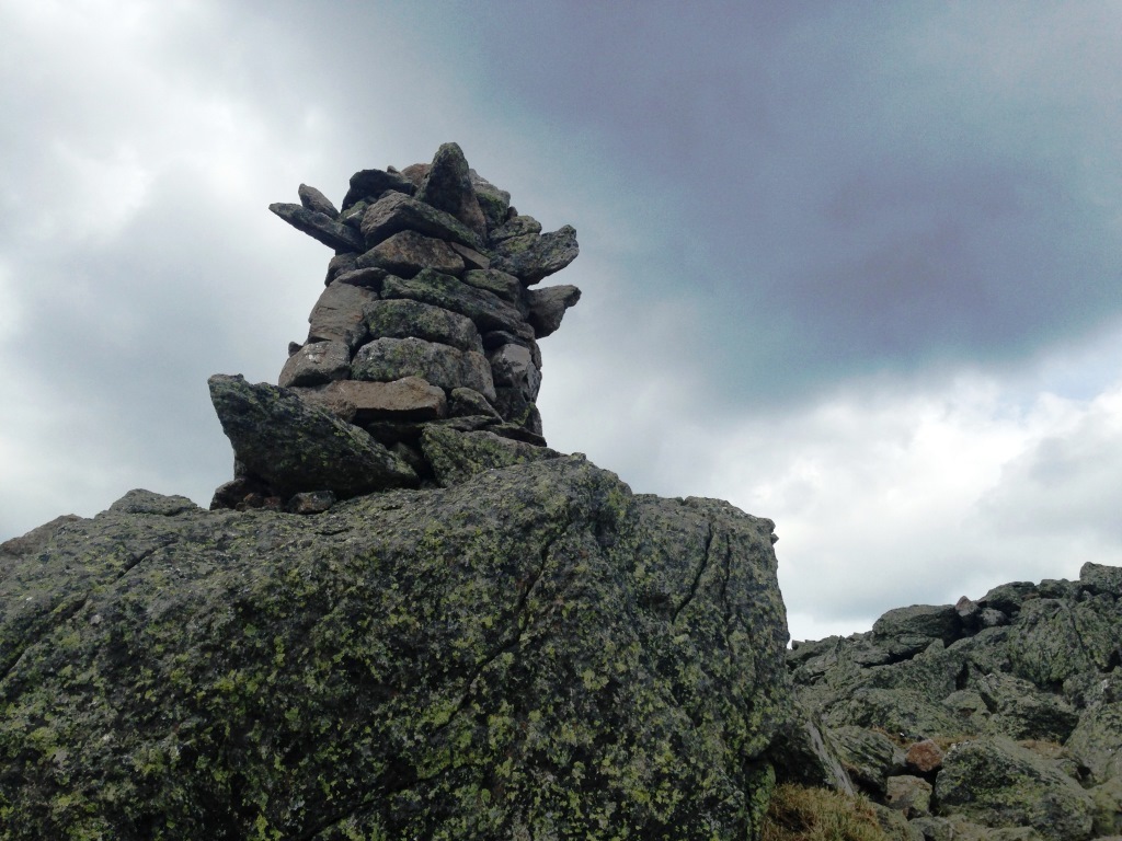
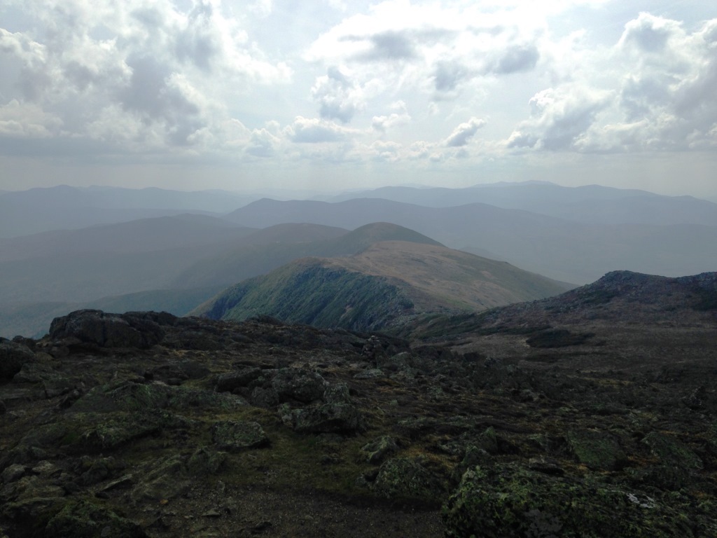
It is always nice to be above treeline, and the weather held up for us, staying clear all the way (left). It was warm enough for T-shirts (compare to the same trip in June 2013!), but there was enough wind to keep the black flies at bay. We took the side trail to Mt. Franklin and then climbed up the first crag of Mt. Monroe, where we found this interesting-looking cairn (right).
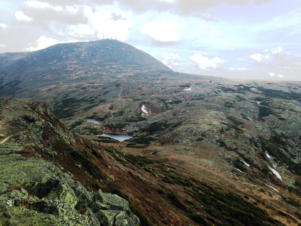
On the top of the main peak of Mt. Monroe we saw serious patches of snow remaining on the other side (left). I looked back and took this great shot of the southern Presidentials (right).

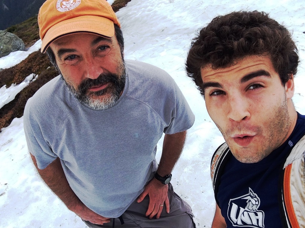
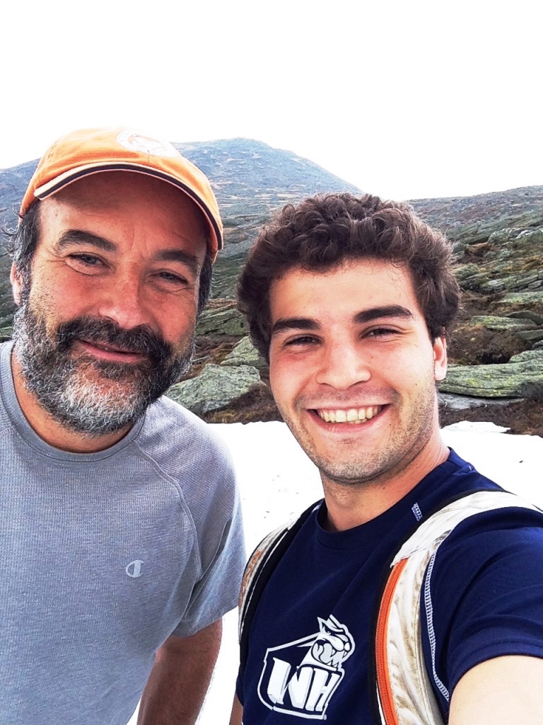

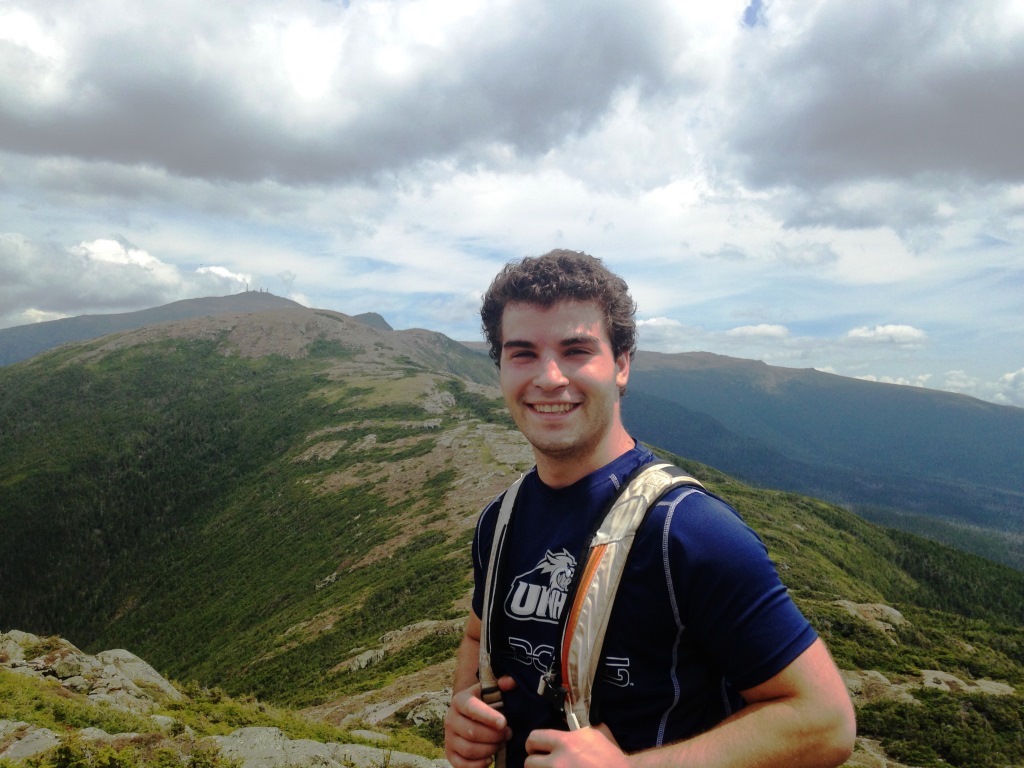
From Monroe we dropped into the col of the Lakes of the Clouds hut. The crew was starting work at getting it open for the season. Just below the hut we found a big patch of snow (left) and took a few selfies where I show off my new gap-toothed smile. We then headed down the Ammonoosuc Ravine Trail back to the parking lot, and found isolated patches of ice all the way down to 3,000 feet.