Click on pictures to enlarge.

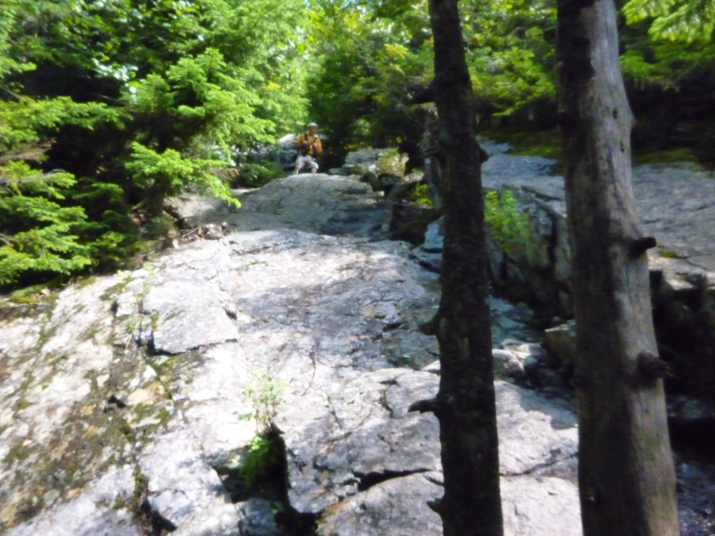
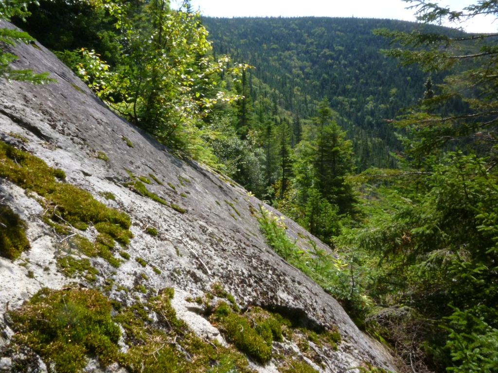
I had never climbed Mt. Flume before and Peter Wyatt suggested that we take care of that blemish on my record. We went up the Flume Slide Trail, which involves a long, featureless, and viewless approach hike from the trailhead at 1,400' to the bottom of the Flume slide at 2,800'. The base of the slide offered the first views, looking back towards Moosilauke (left). After that the fun began with an insanely steep climb straight up the slide for a thousand vertical feet. This was a continuous hands-and-feet scramble over loose rock and steep ledge (right and below left). Fortunately, the most difficult parts could be side-stepped by going into the woods on the edges of the slide, where well-worn herd paths were testimony to many previous hikers in search of safety.
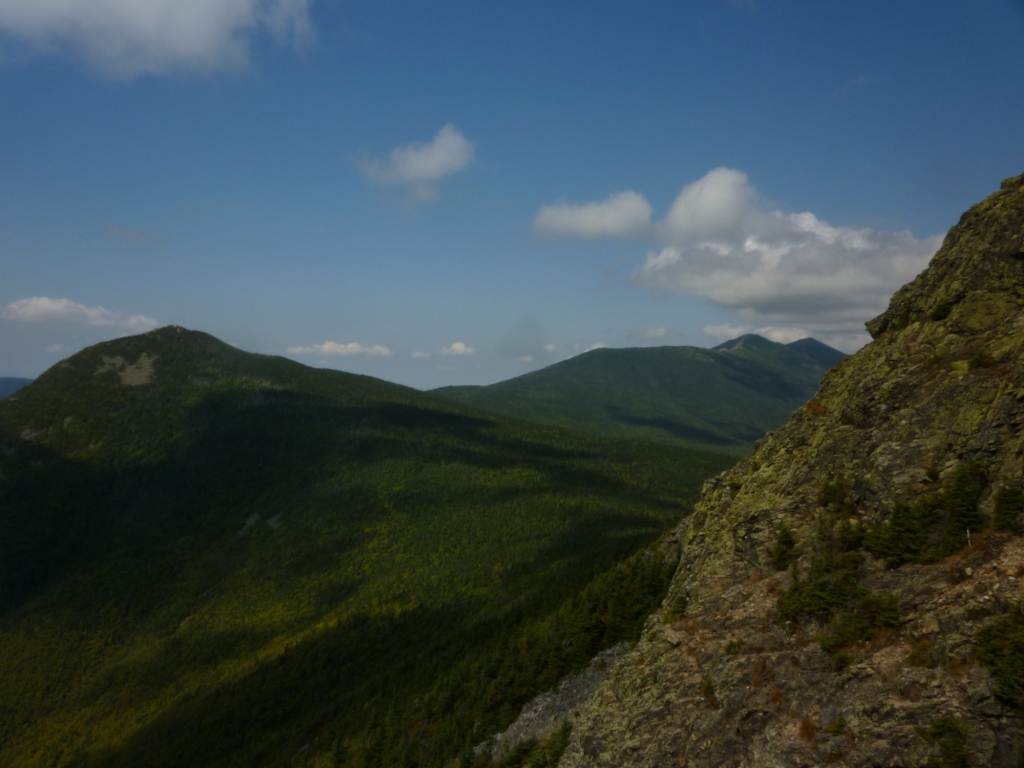
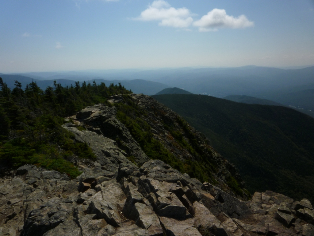
At 3,800' we got to the top of the slide but the steep climbing continued up to the ridge at 4,200' where we met the Osseo Trail. We turned left and very shortly after the views opened up as we stepped on the Mt. Flume cliff (right), uncovering a grand Franconia Ridge panorama with Mt. Liberty in the foreground. From the cliff we also had a great view to the west looking towards Moosilauke (below left)
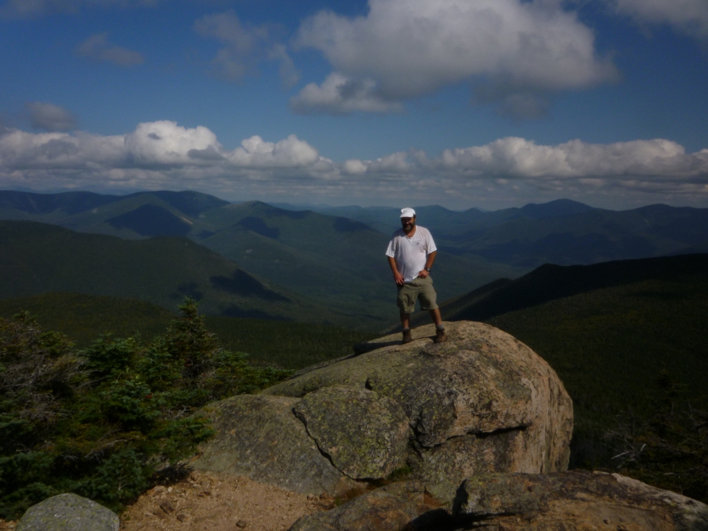
A short further climb along the cliff and we were at the top of Mt. Flume (right, looking back toward the cliff). This was my 46th 4,000 footer of New Hampshire - just two more to go! But since I'm not in a particular hurry to finish them it make take a while. Mt. Flume was well worth it though. The massive cliff scarring its west side makes for great 180o views. The view to the east towards the Pemigewasset Wilderness is partly obscured by trees but we didn't care because we were headed to Liberty where we would get the full 360o treatment.

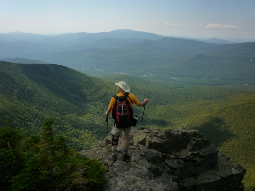
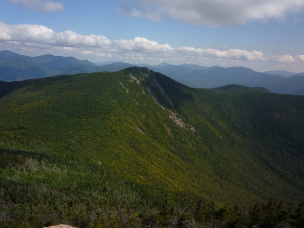
We dropped to the 3,600' col between Flume and Liberty and climbed up the ledgy summit of Mt. Liberty. The view from the top of Liberty is truly phenomenal. At left is the view east towards the Bonds and the Pemi wilderness. At right is the view north towards Franconia Ridge, Mt. Garfield, and the Twins. Below left is the view south looking back at Mt. Flume. And below right is the view northwest looking at Franconia Notch and Cannon.
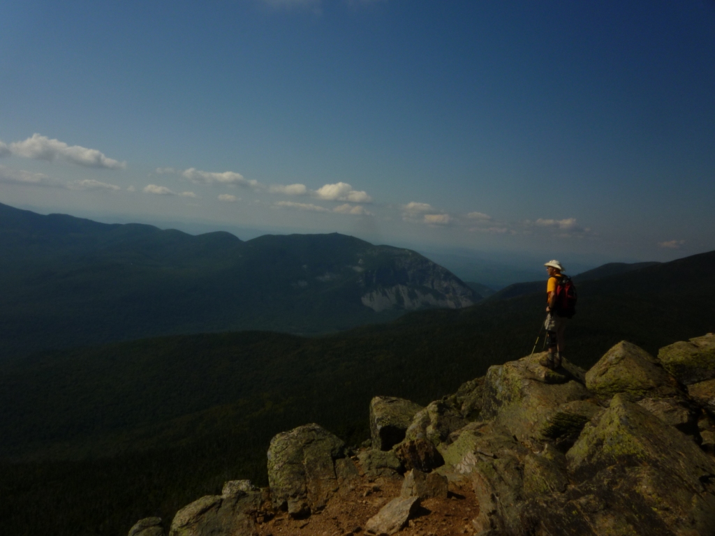
I had last climbed Mt. Liberty seven years ago on September 11, when it has become a tradition to raise US flags on all 4,000 footers of New Hampshire (see my hike to Mt. Carrigain on Sept 11 last year). There had been a lot of people on top of Liberty that day partaking in the patriotic event, but on this Friday the peak was very quiet. After soaking in the views we headed back down by the Liberty Springs Trail which is part of the Appalachian Trail and suddenly found ourselves in a through-hiker alley - every 10 minutes or so we crossed the characteristic bearded hikers with massive backpacks headed to Maine. It is the season for seeing the through-hikers in the White Mountains, but still this was an unusual density. This may have been due to the passage of hurricane Irene, when the White Mountains National Forest was closed (!) and everyone ordered off the mountain, possibly causing a back-up of hikers. Peter and I felt weird to be the only casual hikers without heavy packs on the trail!