Click on pictures to enlarge.
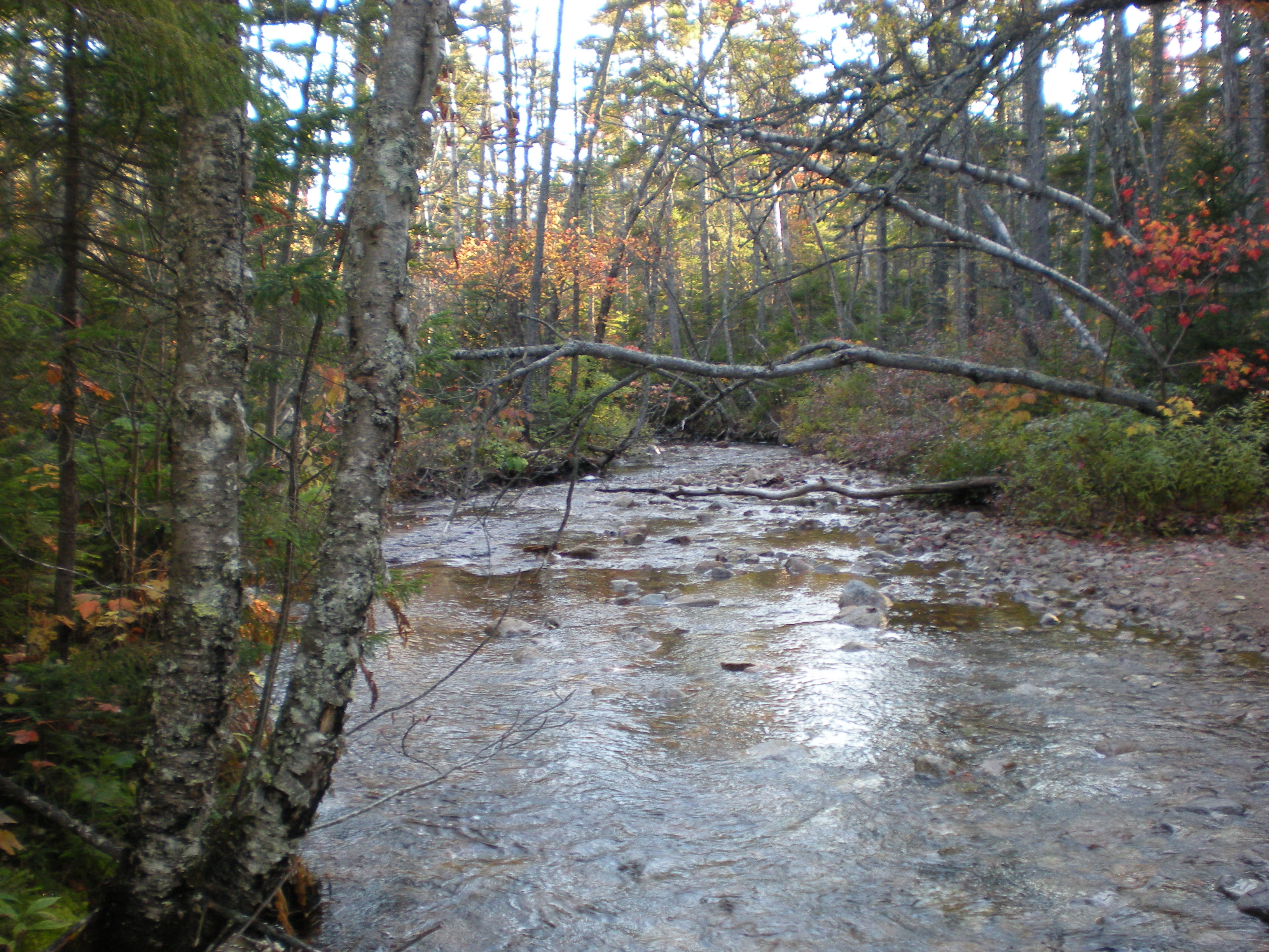

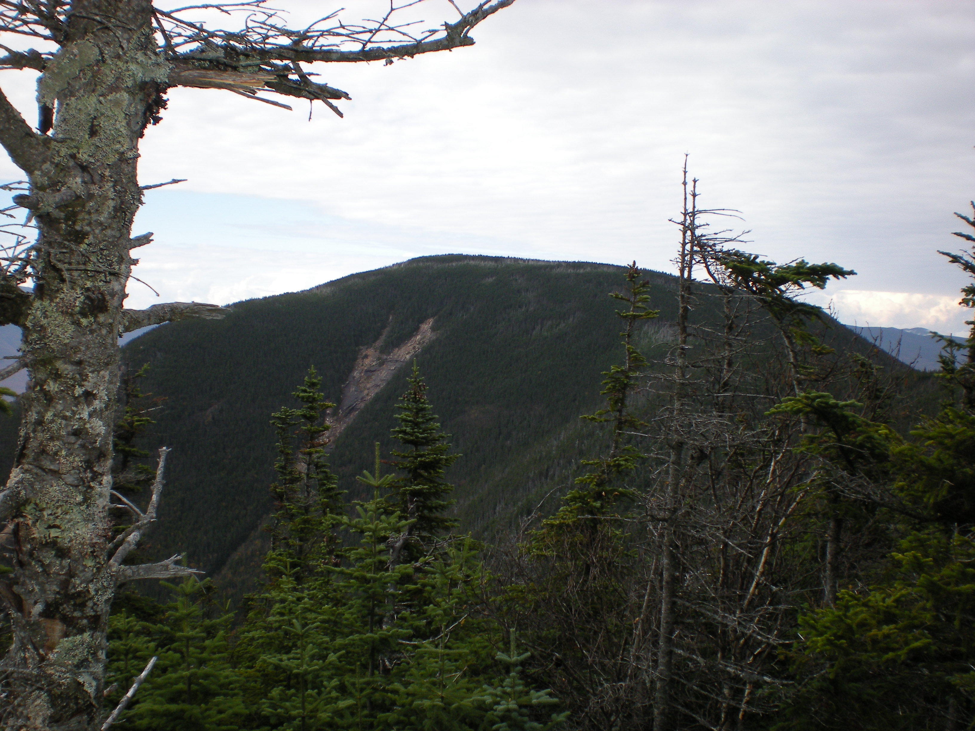
Fall foliage was at its peak in the White Mountains as Alex and I went to climb North and South Hancock by the Hancock Loop trail. The Hancocks are a prominent feature of the Pemi Wilderness viewscape (they're the ravined summits at right in the Zeacliff view on my hiking home page). I wanted to experience them first-hand. The peaks were very remote before construction of the Kac highway in the 1950s, and they still require a long flat approach hike. But that approach was very attractive, with many stream crossings (left) that I expect could be difficult at high water. We detoured along the way to an unofficial camping spot along the river that Alex had used in his 10-day backpack this past summer, and he was pleased to see that the rock sculptures they had done on the river bank were still standing. We finally got to the Hancock Loop trail at 3400'. The intersection offered a nice view of North Hancock with its characteristic Arrow Slide (right).


We did the Hancock Loop from north to south. The climb up North Hancock was steep and rough but not too long. A few weeks ago I bought an altimeter watch and now I wonder how I could have hiked without it - it gives purpose to every uphill step. The trees got noticeably shorter as we got to the top but still not enough for views. Fortunately there is a large overlook ledge close to the top that offers a superb and unusual view to the south (left). The view is dominated by Mt. Osceola but also shows the long valley that we hiked up from the Kac, resplendent in fall foliage. The only human structure one could see was the ski cabin at the top of Loon. Looking left from the ledge we had a nice view of South Hancock (right).
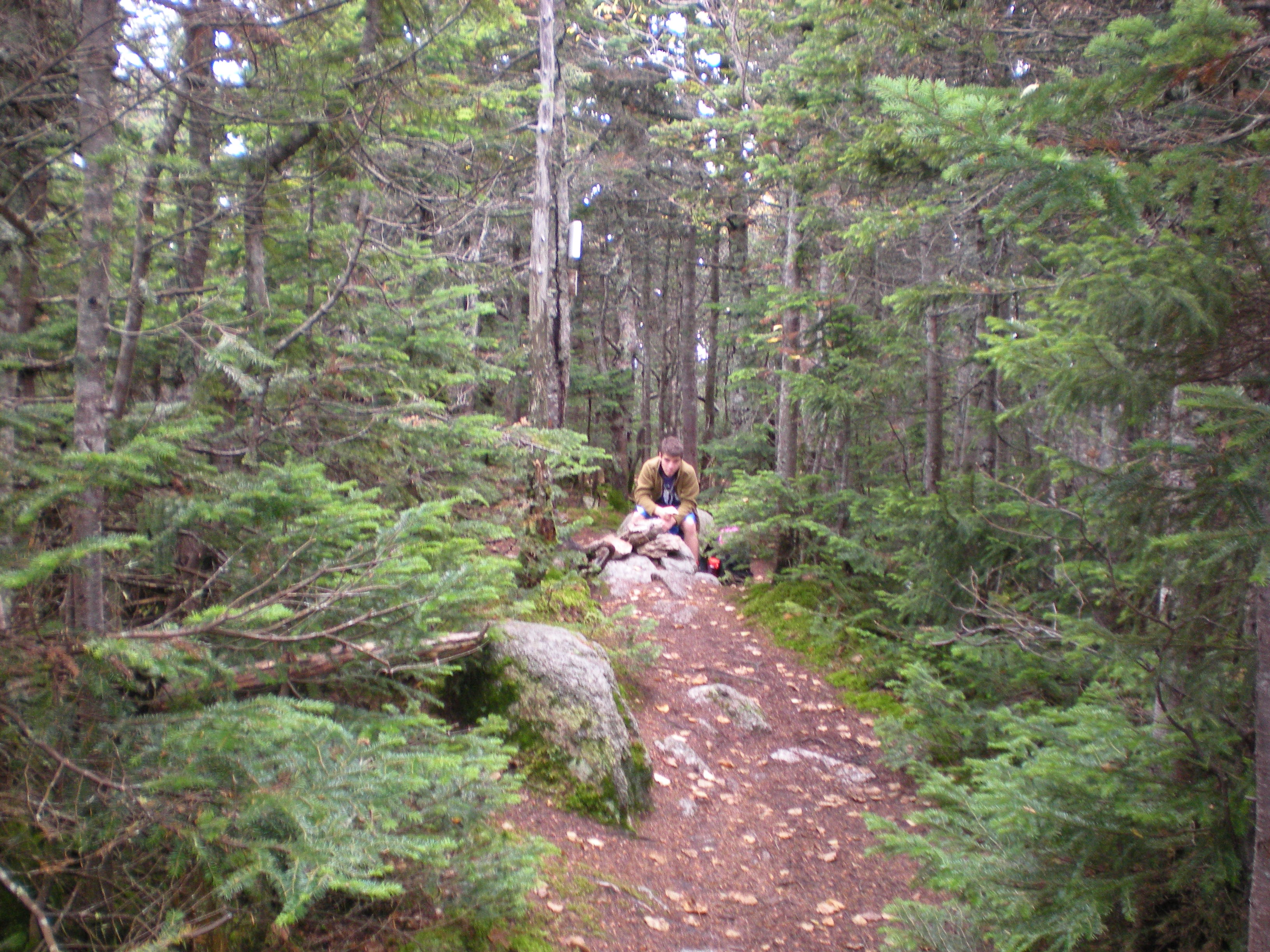
The Hancock Loop Trail then follows the curved ridge to Middle and South Hancocks, passing low cols between these mountains. It's a very nice walk in a beautiful high-altitude forest with only moderate ups and downs. I could only guess at the incredible views I would have with fewer trees - another of these instances where a good fire or windstorm would do wonders. Just before getting to South Hancock, a rock on the right of the trail provided a nice view looking back to North Hancock (left). The top of South Hancock itself was just a cairn in the middle of the woods (right).

As with North Hancock, a ledge just off the top of South Hancock provided excellent views, not as extensive but in new directions to the north and east. The view to the north took in the remote Sawyer River valley (left), with no sign of human activity except for a few houses from the village of Bartlett far to the left. The colors were beautiful but don't show well in a panorama - a zoomed view of the valley (right) better shows the patchwork of green, red, and yellow.


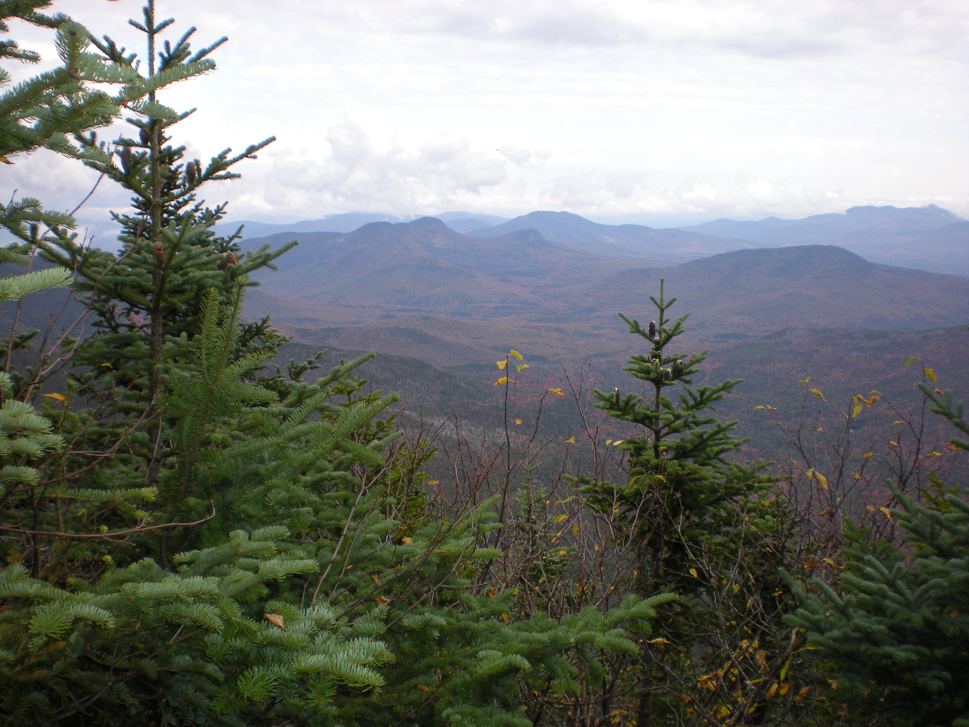
The view to the east from the ledge was also unusual and interesting (left). A prominent feature was Mt. Passaconaway (cone summit on the right), which I still have to climb. Coming down from South Hancock and before disappearing into the woods we had yet another view, this time looking northwest at Franconia Ridge and Owl's Head (right). From there it remained for us to walk out, enjoying the beautiful foliage in the evening light. This was Alex's #26 and #27 of the 4,000 footers - 21 to go!