Click on pictures to enlarge.

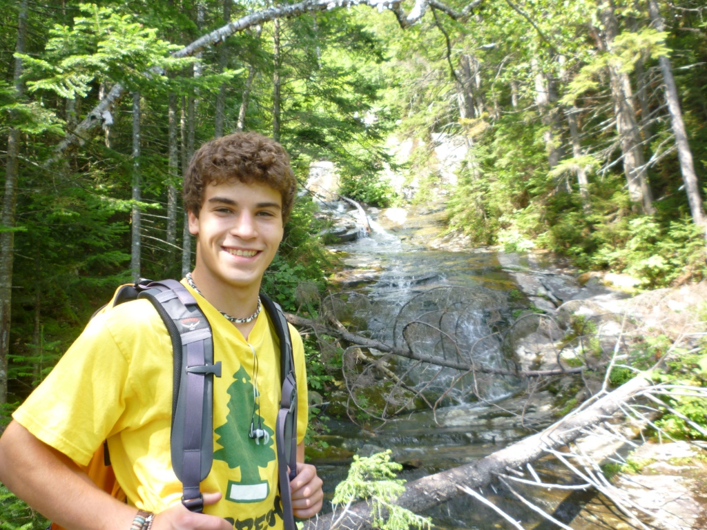
Today was the big day - Alex's last of the 48 4,000 footers of New Hampshire. Just in time before his 18th birthday. He had kept spectactular Mt. Moosilauke (4,800 ft.) for last so he could finish with a bang. We went up the Beaver Brook Trail, which is part of the Appalachian Trail and features the steepest mile of the whole AT from Georgia to Maine. A sign at the trailhead (1,800 ft.) warns of "tragic results" (left- blow it up to read). The trail quickly crosses two streams and then goes straight up more than 1,000 feet along a beautiful cascade (right)
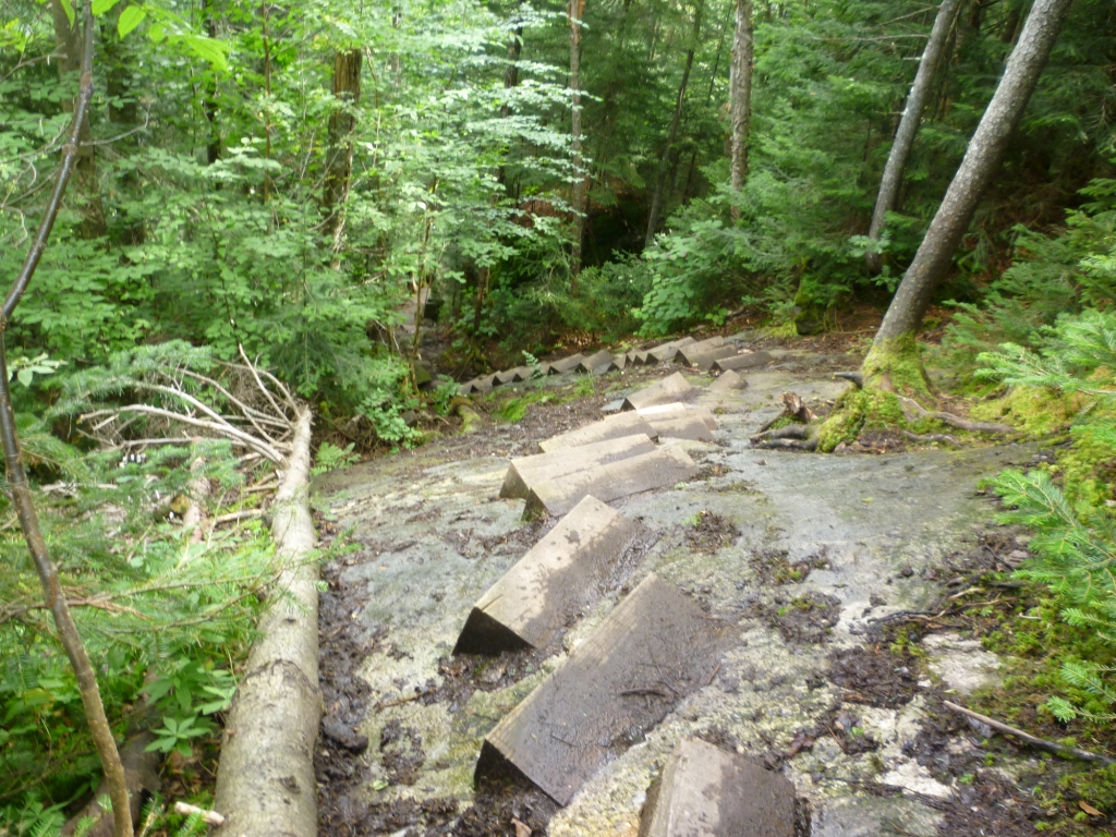

The trail is very steep, no question about it, but is also an engineering marvel with all kinds of rock and wood stairs, ladders, and hand cables to help you climb the steep ledges along the cascade. This kind of trail engineering is very unusual in the White Mountains. The most spectacular part was a long staircase of wood steps bolted into the granite to climb a nearly vertical ledge (left), which was just a bit unnerving because if you slip near the top the results could be tragic. On this dry day and going up it wasn't much of a problem, but I can imagine that going down on a wet day with a full AT pack would require serious consideration. At about 3,000 feet we reached the top of the cascade and the grade then eased a bit. At 3,700 feet a side trail took us to the well-maintained Beaver Brook shelter (right), with cleared views to the Franconia Ridge.
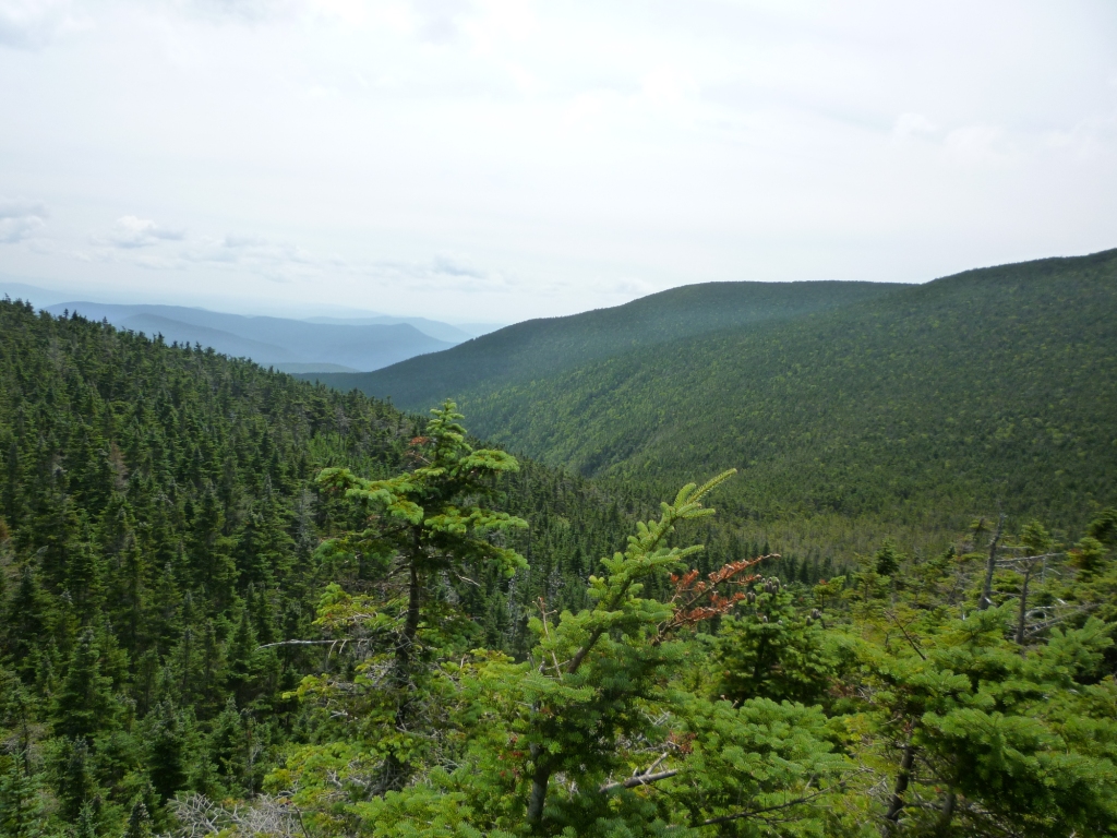
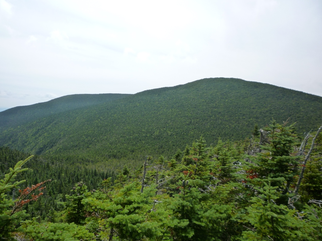
The general narrative for the Beaver Brook Trail to climb Moosilauke has similarity to our Whiteface climb from the north two weeks before. In both cases you climb a valley up to a ridge with a wild glacial bowl on the other side, and then make a counterclockwise turn along the ridge halfway around the bowl to get to the summit. Here the bowl was the playfully named Jobildunk Ravine, and as we circled it we got many views down the ravine (left) and to the top of Moosilauke (right).


A spectacular feature of the approach to Moosilauke is how abruptly you get above treeline. Here is Alex during the final climb in the forest (left) and emerging above treeline 30 seconds later (right). There is no transition region of stunted gnarly trees as for other mountains, but instead a clean break between the woods and the above-treeline lawn.
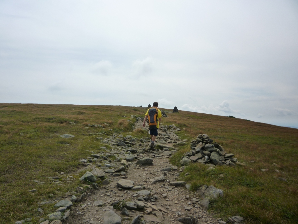
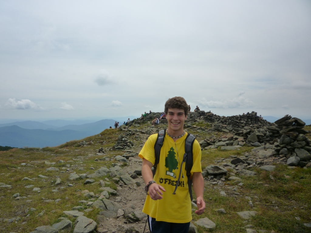
Alex's final ascent of his final 4'000 footer deserves some photographic detail. Here he is at left climbing the lawn above treeline, along a path lined with tall cairns so that you can find your way back down to the forest in the frequent fog. Because Moosilauke is an isolated rounded above-treeline summit the final climb feels very special, as if you're reaching another world in the sky. The picture at right shows Alex within reach of the summit - there was a significant crowd at the top, Moosilauke is a popular mountain and this was a fine Saturday.
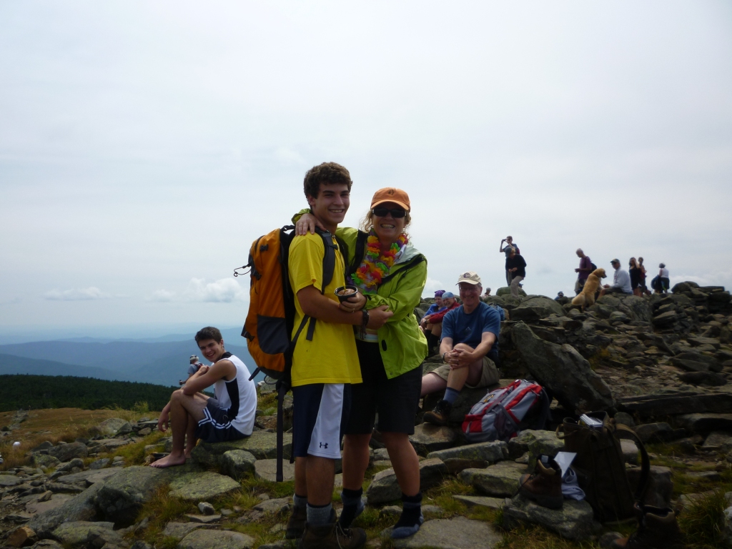
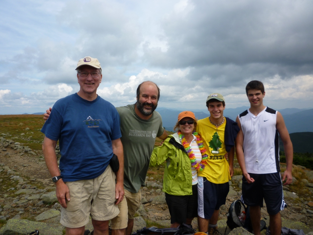
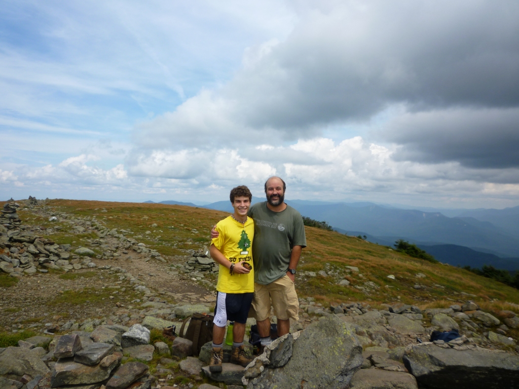
And then surprise! At the top waiting for him was Janice, his friend Danny Milch, and Roger Gagne (left and right). They had climbed the easier shorter route on the other side of Moosilauke (Gorge's Brook Trail) to surprise him at the top. I had given them a 1-hour advance at the trailhead but had underestimated Janice's ability because they ended up waiting for 90 minutes at the top for us to show up. Roger served as Janice's guide, and for her it was the 3rd 4'000 footer - just 45 to go! We gave Alex a 4,000 footer T-shirt, cap, and microwavable cupcake with an unlit candle on it. No microwave was available but we still ate the cupcake, anything caloric tastes good at the top of a mountain.
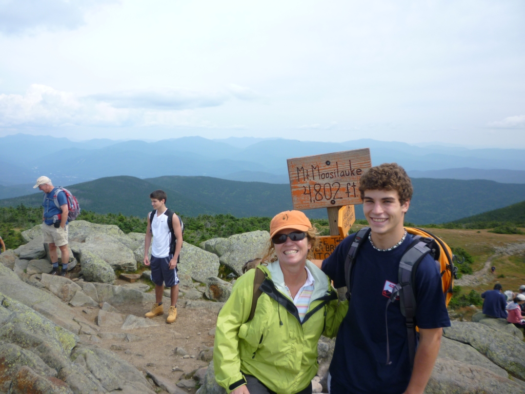
Here is Alex again at the top with mom and with me. Doing all the 4,000 footers has been a great father-and-son experience. I still have three peaks to go (West Bond, Owl's Head, Flume), which Alex did without me on his 10-day peakbagging backpack with the AMC two years ago. I'll have to take care of them someday but in the meantime I can only bow to my son who has achieved the ultimate credential of New England hikers!

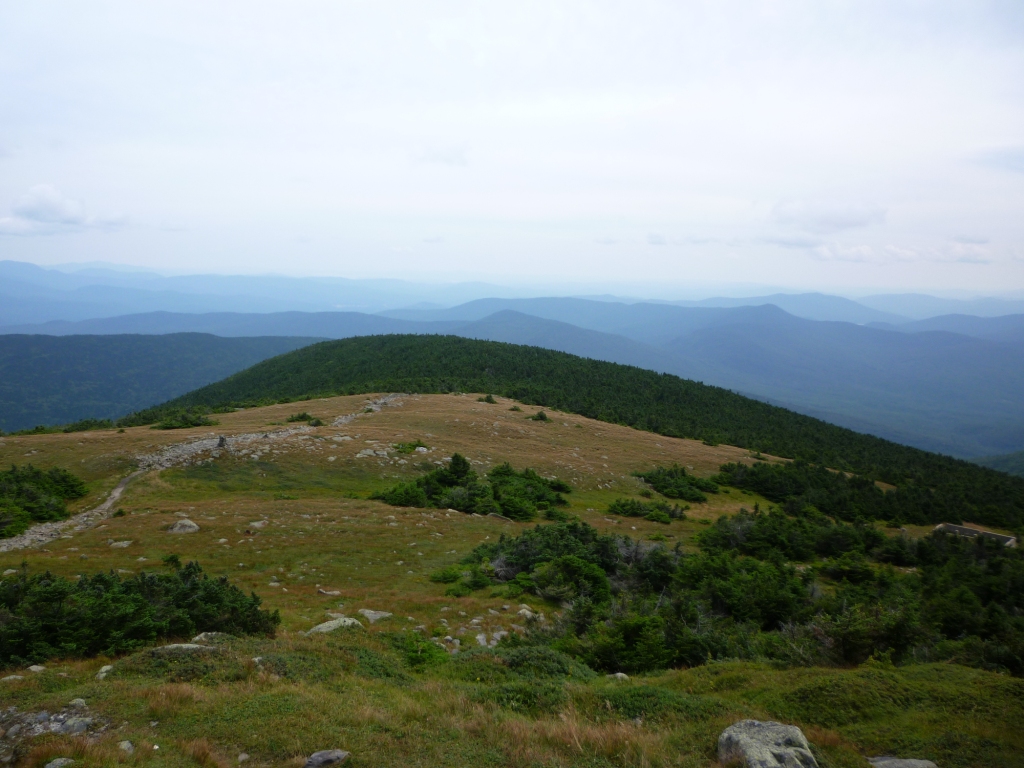
Janice, Danny and Roger had already been at the top for a long time so we didn't stay much longer but still enjoyed the fantastic 360o panorama. Moosilauke is in the SW corner of the Whites so it has very unusual views (left and right). Below the summit are the ruins of an old ski hut dismantled in the 1960s (below left).
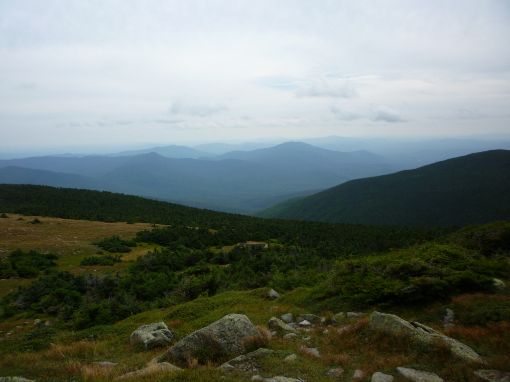
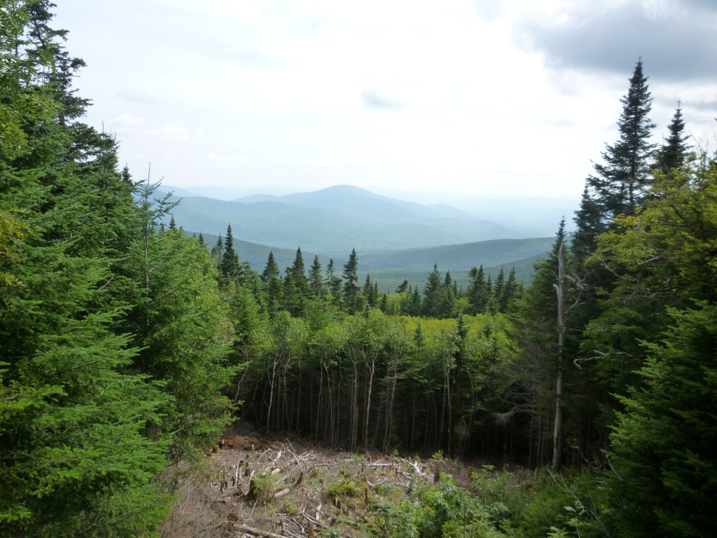
We then all headed down by Gorge's Brook Trail, which is a very well-graded trail down to the Ravine Lodge maintained by Dartmouth University at the base of Moosilauke. the trail stays above treeline quite a while and even after you get down into the forest it offers views in several cleared areas (right). Normally one needs a major wind blowdown to get these views but I saw evidence of mischief - a number of trees had obviously been chainsawed, A great idea, truly - Nature would be wonderful if it wasn't for all those trees blocking the views. The AMC and US Forest Service surely would not buy that, but the trails on Moosilauke are maintained by the Dartmouth Outing Club and it seems that the Dartmouth kids have free rein to do what they please on the trails. This explains also the colorful trail signs, as opposed to the sober signs (if there are any signs at all!) generally found in the Whites. As we got down to the base of the mountain along the brook we even saw a sign to "Class of 1997 Swimming Hole", which may be testimony to the creativity of Dartmouth fundraising!