Click on pictures to enlarge.
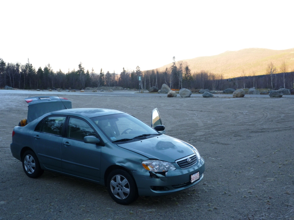

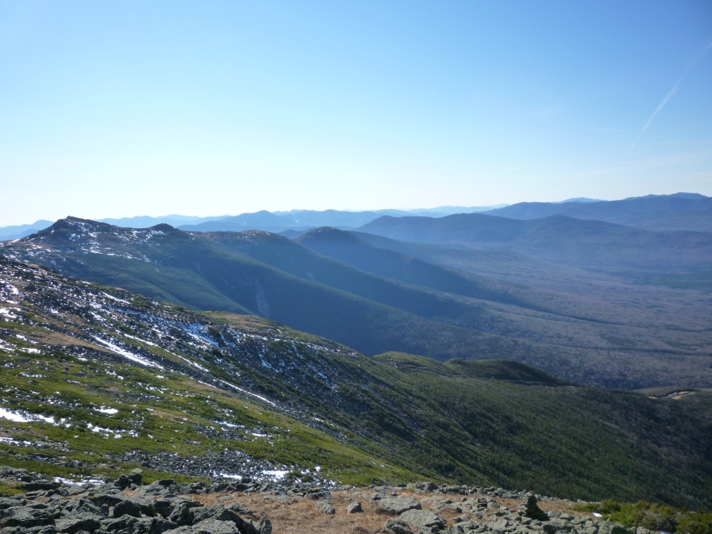
Clear skies, temperatures in the 40s, and weak winds were forecast for the Presidentials that day. I was supposed to work, but when Peter Wyatt suggested hiking instead it seemed like a much better idea. I needed to go to Mt. Clay one last time this season to maintain the Loop Trail for the AMC and I figured that this would be the last chance before winter closes in. Roger Gagne joined us and we packed our cairn-building gloves. An icy bridge on Base Rd just before the trailhead sent my car skidding into the rail for a serious fender-bender (left) but I didn't let that dampen my enthusiasm. We went up the Jewell Trail, hitting first snow at 3,900' and reaching the GulfSide Trail at 5,300' (right). Bretton Woods showed up as a ribbon of snow down below, testimony to the diligent snow-making. It would be one more week before they open.
Views above treeline stretched exceptionally far. To the west we could easily see Mts. Lafayette, Moosilauke, and the 4,000 footers of Vermont (above right). To the south we had a great view of the southern Presidentials, the southern ranges of the White Mountains, and beyond (left). We headed on the Gulfside Trail toward Mt. Washington until the intersection with the Mt. Clay Loop, with great views of the northern Presidentials (right).
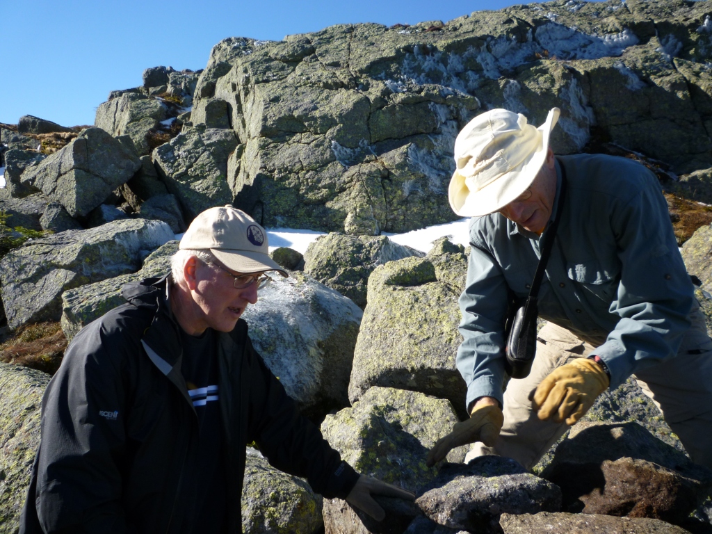

We then proceeded on the Mt. Clay Loop and it was time to get to work. Overall we found the trail to be in good shape but some cairns needed rebuilding (left). It's amazing how much work you can do with three people, even when one just takes photos and doesn't actually work! We completed four good-looking cairns that day (right).

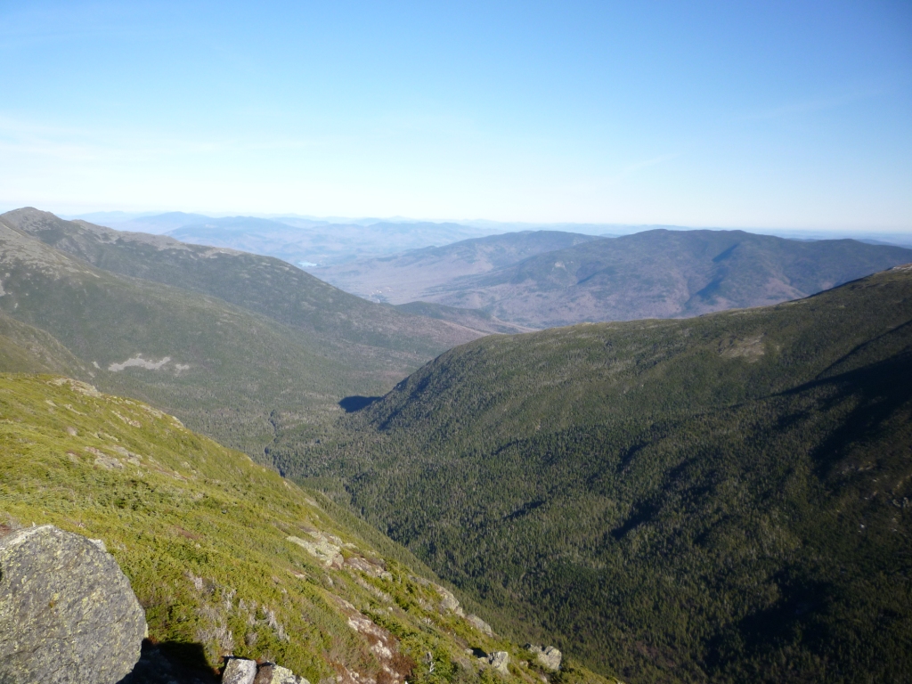
In the reports of my previous trips to Mt. Clay this year (see Mt. Clay Loop Reconnaissance on July 30, and Clay-Adams-Madison on August 8) I rhapsodized about the beauty of the place. What more can I say? A coat of snow made the view of the Great Gulf even more spectacular (left). Spalding Lake at the bottom of the Gulf was not seeing much light anymore and was partly frozen. To the northeast we had a great view of the U-shaped valley coming out of the Gulf with the Mahoosucs in the far distance (right).
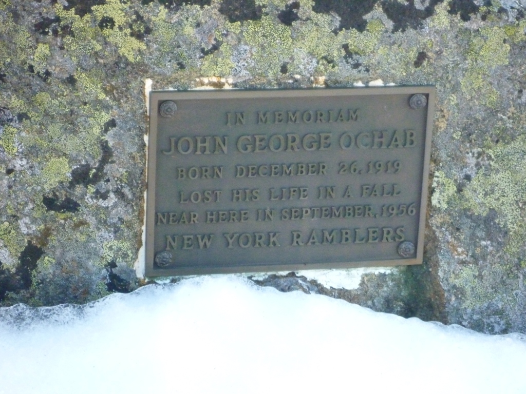

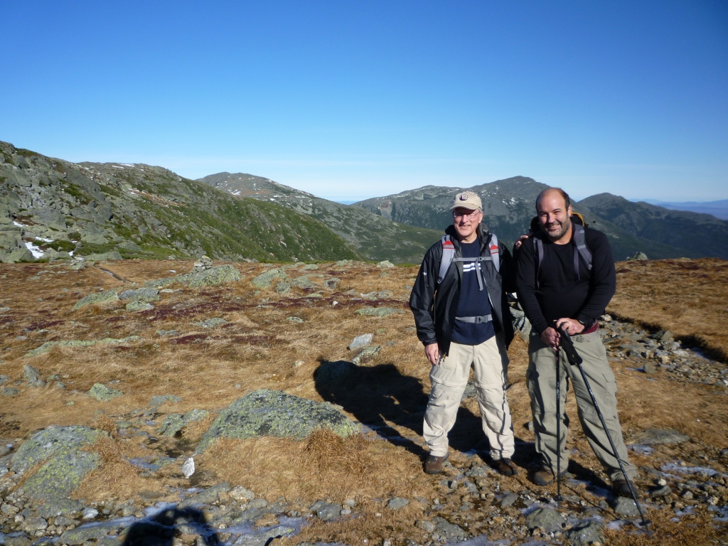
Cliffs drop steeply on the east side of Clay and you need to be careful. On the northern summit of Clay I noticed a plaque commemorating a hiker who had lost his life there in 1956 (left). After building our fourth cairn and satisfied that the Clay Loop was in good shape we headed back down to the Gulfside Trail and on down to Jewell. Mild weather persisted for the descent - we couldn't believe that this was the middle of November. At 3,900' we ran into Peter and MaryAnn Gordon, who had hiked up the Jewell to meet us, and we posed for a group picture before resuming our descent (right). We got back to the trailhead at 4 pm, just in time for the alpenglow on the mountains. Days are getting short indeed!