Click on pictures to enlarge.

Mt. Moriah stands in the northeast corner of the White Mountains. It is not particularly high (4,050') but the climb by the Carter-Moriah Trail starts in the town of Gorham at 800', which has to be the lowest-elevation trailhead of the Whites and makes for a long hike with a lot of elevation gain and interesting transitions between different forest types. The trail goes over a beautiful series of ledges at 2,300-2,700' (left) that offer really nice views of the Presidential Range. We hit our first patches of snow at 3,300' (Richard at right) but never had solid snow on the trail. What a difference with the Webster-Jackson climb just two weeks ago!
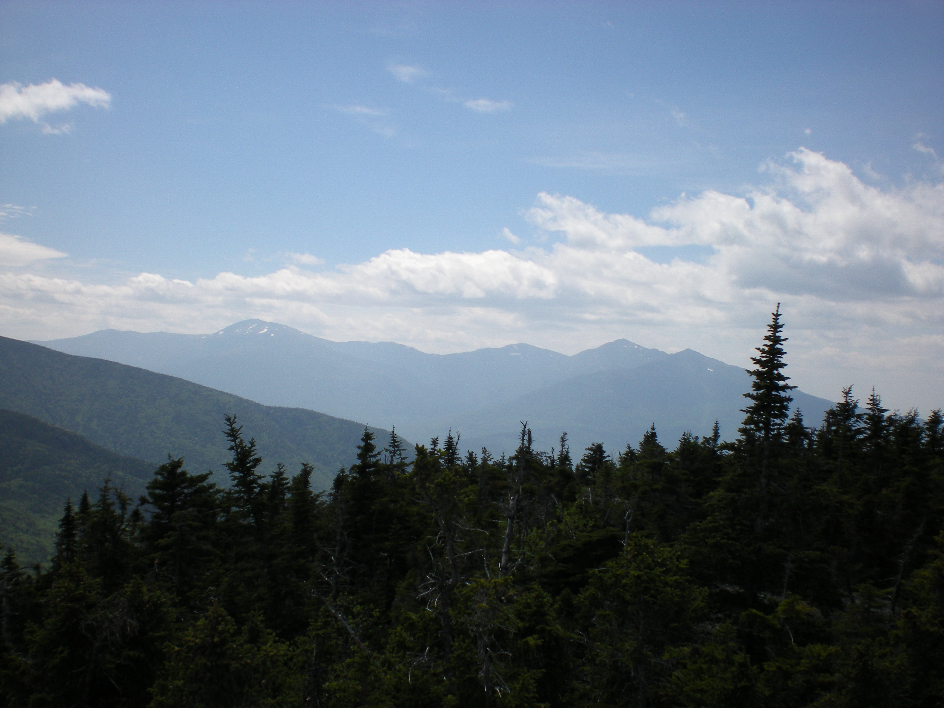
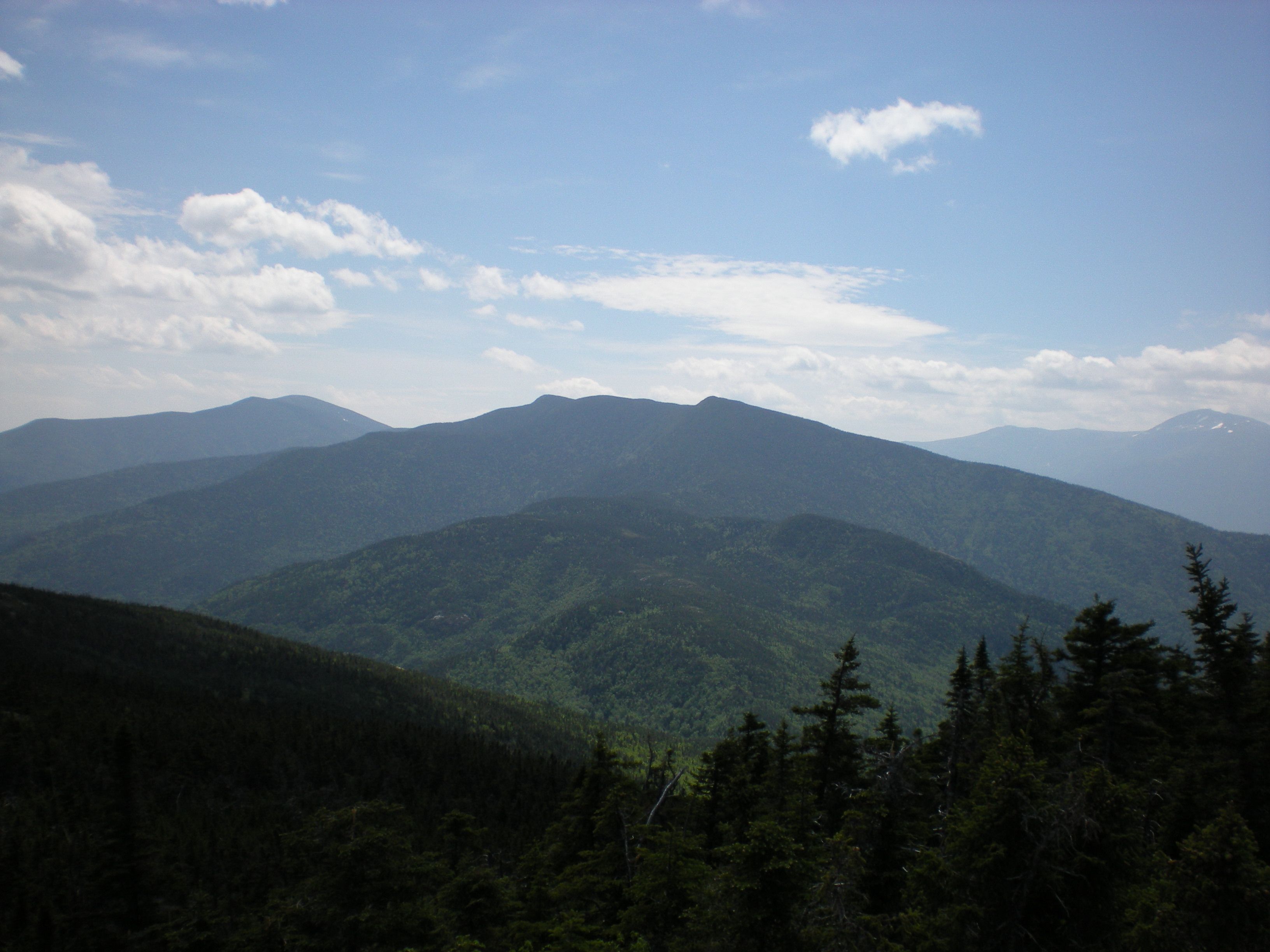
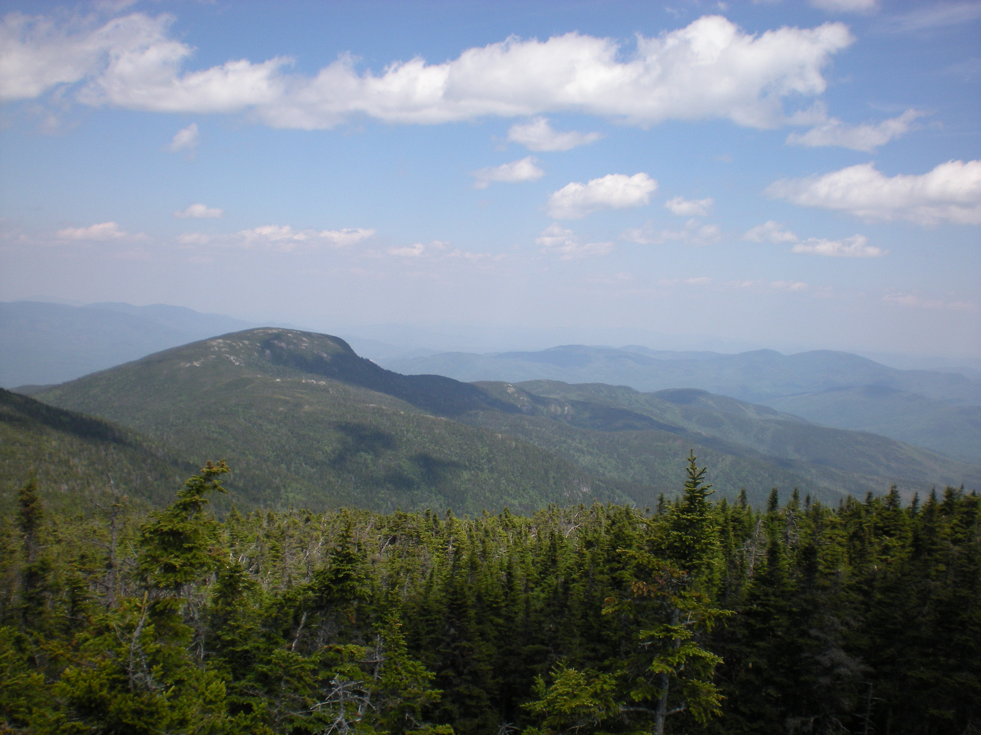
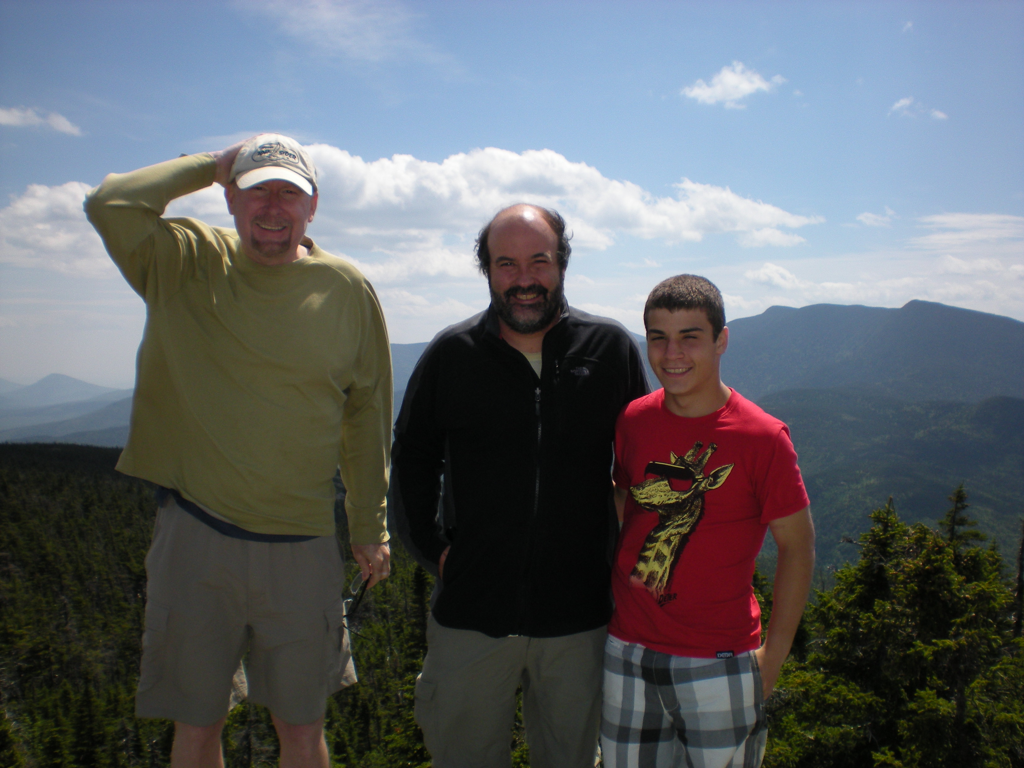
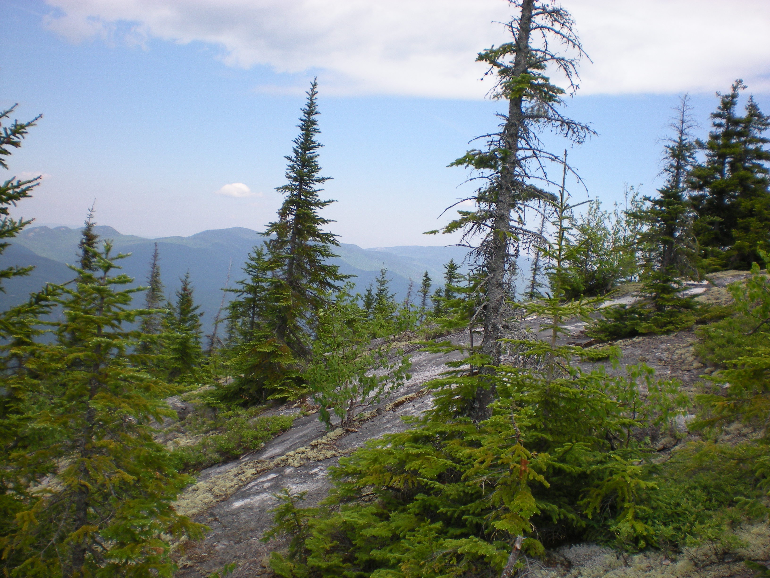
The top of Mt. Moriah is a rocky knob sticking out of the forest and providing 360o views. It was hazy that day because of smoke from Quebec fires transported all the way to New Hampshire (!). We still had a good view of the Presidentials Range to the west (left), of the Carter Range to the south (right), and of the mountains of Maine to the east (below left). Here's Chuck, Richard, and me at the top (below right) and a panoramic video of the 360o view. This was Richard's 28th 4000-footer - twenty to go!