Click on pictures to enlarge.

Doing a circuit around Mt. Washington is a great way to spend the day above treeline on little-used trails and see a lot of different things. I had done it in late September last year and it was great so I redid it this year earlier in the season. The last hike before my 60th! I went up the Ammonoosuc Ravine Trail with its lovely waterfalls (left) and got to Lake of Clouds hut which had just opened the previous weekend. From there I took the Cross-over Trail and saw my first snow of the day (right).
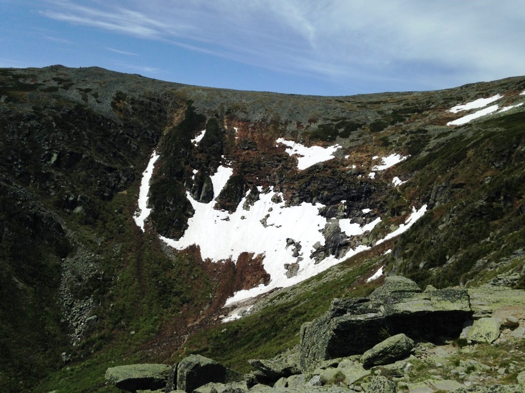
I made my way to Tuckerman Junction and saw a sign that Tuckerman Ravine Trail was still closed because of snow/ice. I made my way down it a little way and got itnto plenty of snow but couldn't peer over the ravine (left). So I circled around to Lion's Head crag and from there I could see all the snow remaining on the headwall (right).


There was a group of snowboarders on the headwall so I hung out for a while to watch them and a fellow kindly too my picture (left). Then I went back up and right on the Alpine Garden trail towards the Nelson Crag trail. The Alpine Garden is so called because of the seasonal carpeting of flowers in bloom. This was a few weeks early but I still had a nice display of white flowers (right).
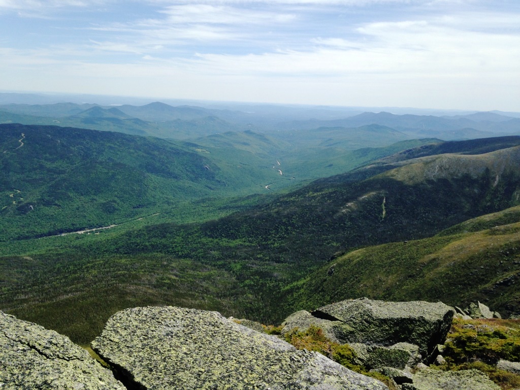
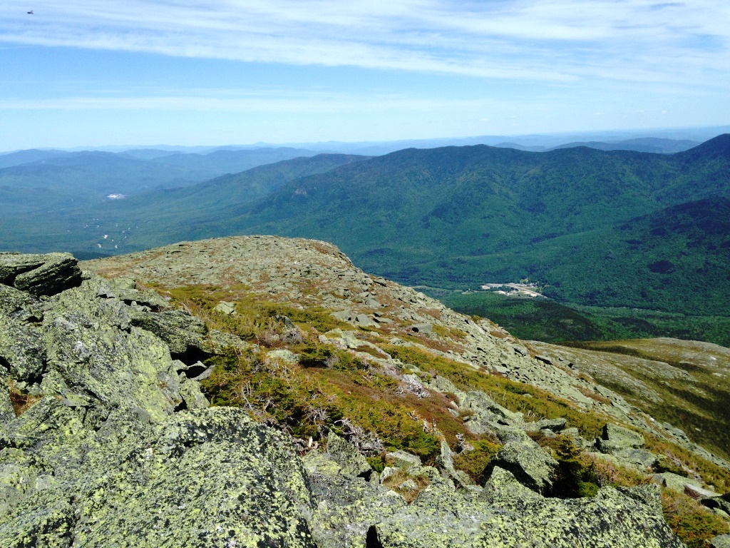
I got to Nelson Crag Trail and made a right turn to visit Nelson Crag, from which I had great views down the axis of the Mt. Washington Valley toward Conway (left) and down to the base of the Auto Road (right).
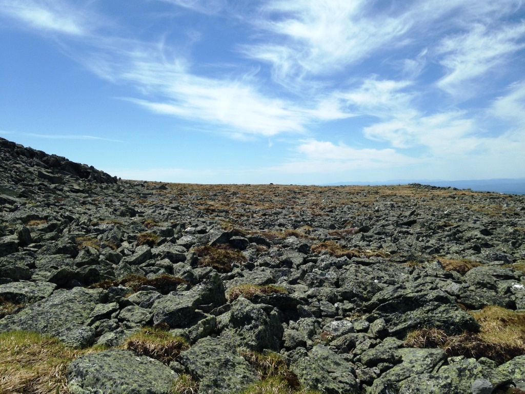

From there I backtracked and climbed the Nelson Crag Trail for 500 feet all the way to Ball Crag (6,100 feet), a stone's throw from Mt. Washington. This was a very rough climb on a boulder field. At Ball Crag I left the trail and turned right across the open lawn (left). The Mt. Washington buildings were within reach (right).
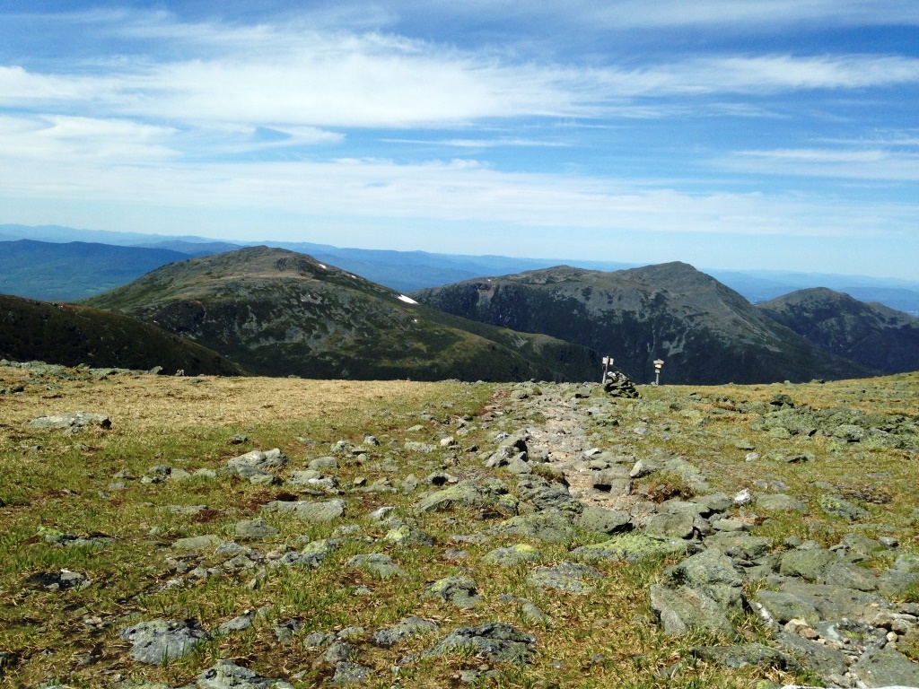

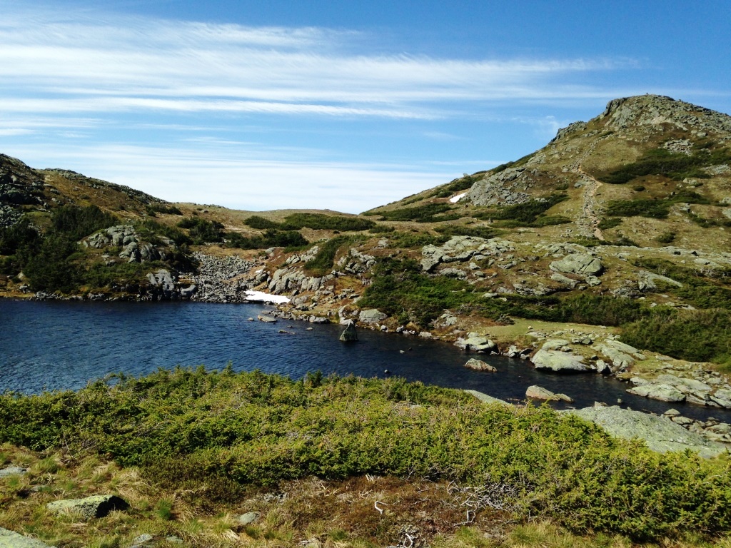
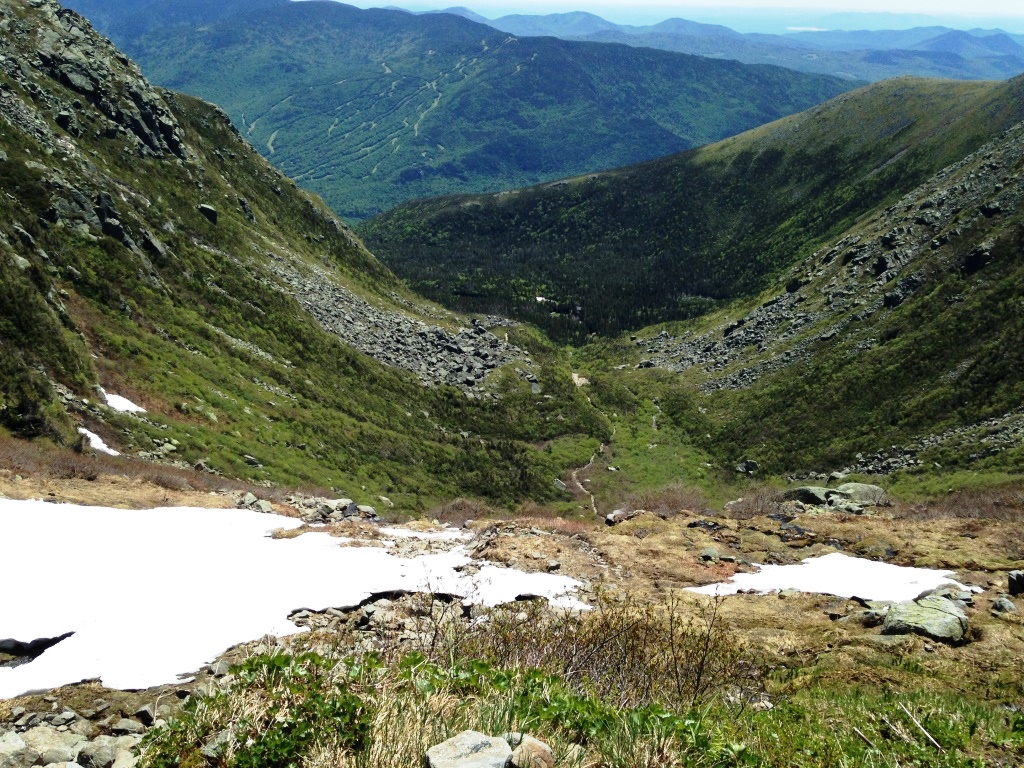
I crossed the Auto Road and soon after rejoined the Gulfside Trail. From there I had great views toward the northern Presidentials (left) and down the Great Gulf to Spalding Lake (right). The Great Gulf is why a circuit around Mt. Washington still has to go up to 6,100 feet. At lower altitudes the Great Gulf is in the way! Now you can go down the Great Gulf and back up and I've done that but that's a dedicated day.
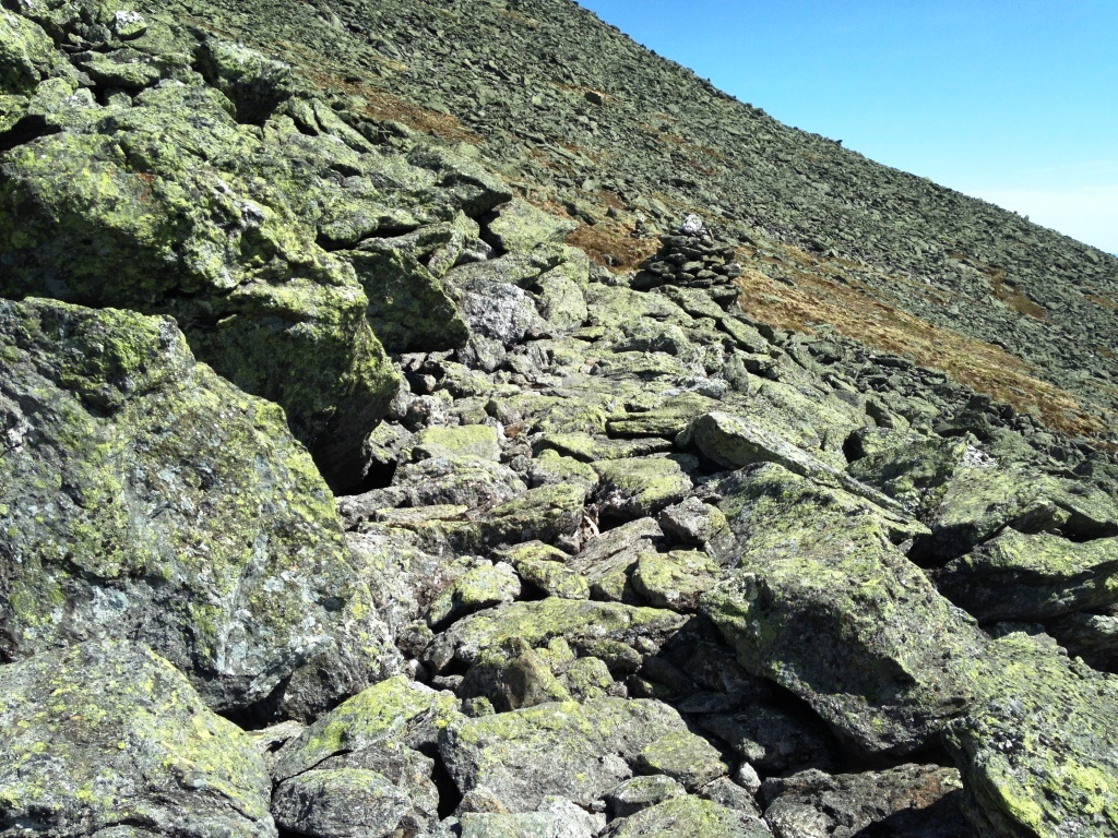

From the Gulfside Trail I took the Westside Trail to take me across the Cog Railway and around the mountain back to Crawford Path. I like the Westside Trail because it's little-used and has some great trail construction from J.R. Edmands some sections have beautifully arranged flat stones, feel like a roman road. I took a picture (left) but I'm not sure that does it justice. Anyway the Westside trail took me back to Crawford Path with great views of the southern Presidentials (right) and from there it was down to the Lake of the Clouds hut and the Ammonoosuc Trail Ravine.