Click on pictures to enlarge.

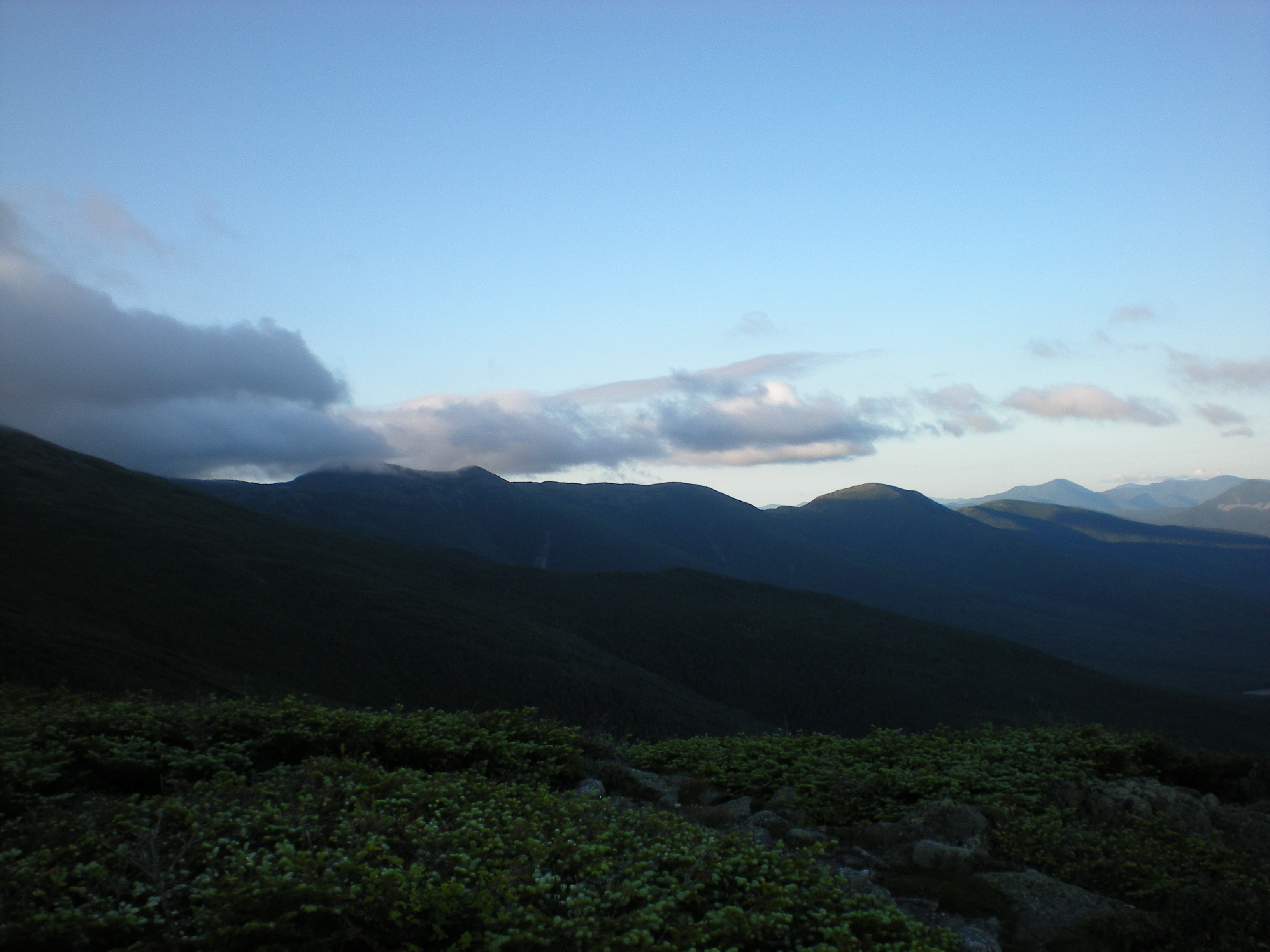
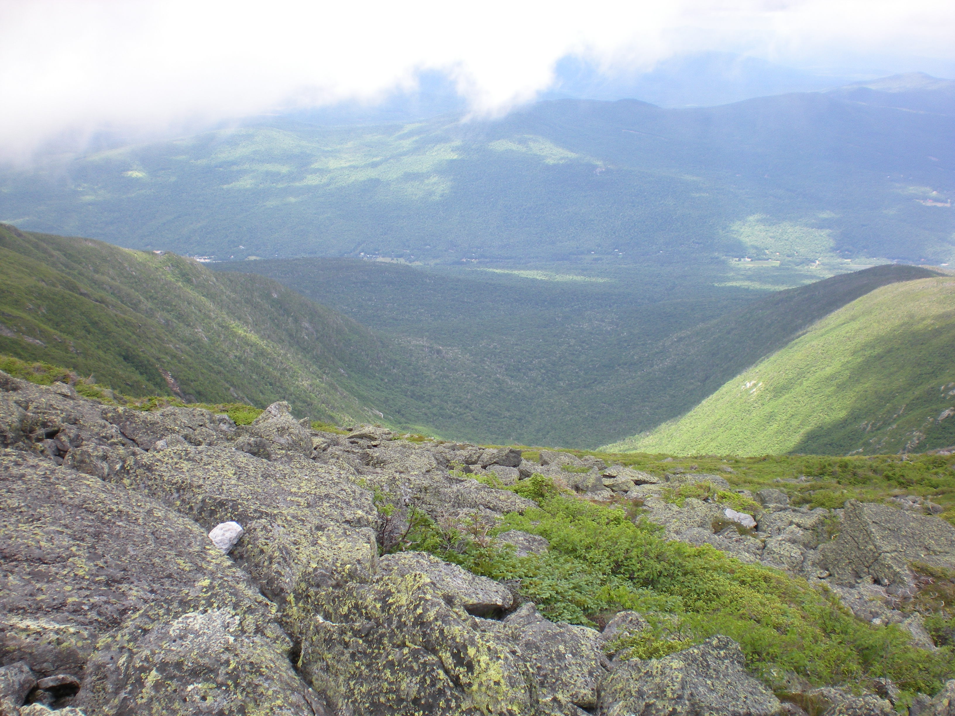
Big solo hike today. I left Jefferson Notch on the Caps Ridge Trail at 4:30 am amid promise of clclear skies and a glorious day of rambling in the northern Presidentials. Mt. Jefferson beckoned in the feeble dawn light from the trailhead (left). In the woods it was dark and I had to use my headlamp for the first 30 min or so. As I got above treeline and approached Jefferson from its crags the upslope wind became very strong and the top became engulfed by cloud - classic orographic cloud formation. Aha, I reasoned, all I need is to wait for the sunrise and the heating of the upslope flow will prevent the cloud from forming. So I hung out for a while on the top crag, enjoying the view just below the base of the cloud (right, looking toward the southern Presidentials) and sure enough right after the sun started hitting the valley the cloud on Jefferson vanished. I congratulated myself that my 20 years of education in atmospheric science had finally paid off!

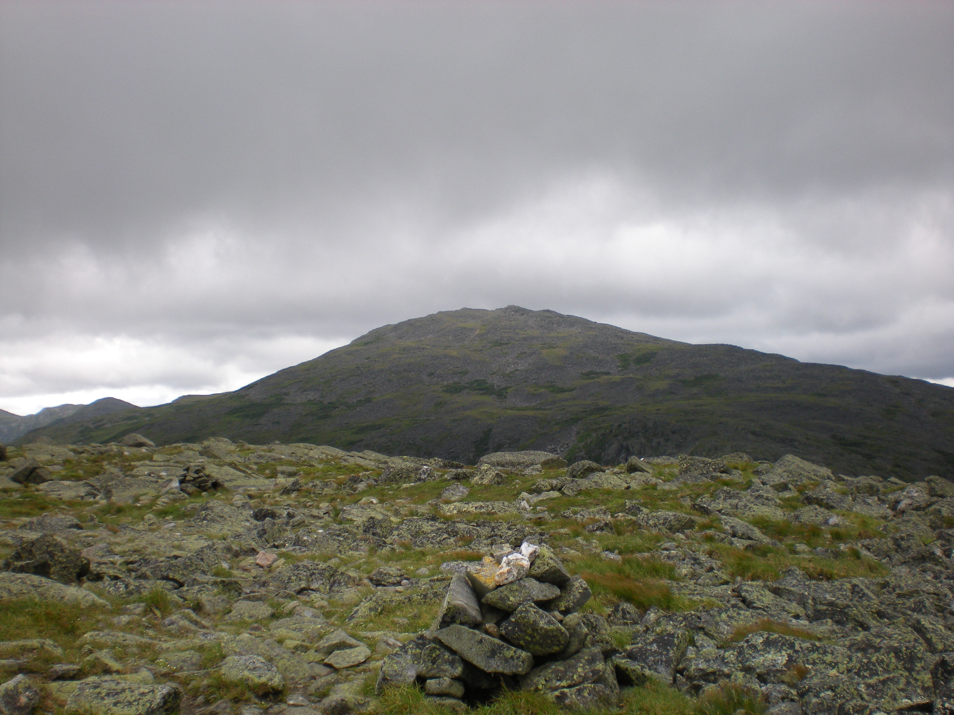
On the way to Mt. Adams I passed what is ambitiously called "Storm Lake" on topo maps and really should be called "Storm Puddle" (left) and up Adams I went by the Israel Ridge trail. Of course, guess what? by the time I got to the top it was socked in cloud. I met one fellow on top who upon learning I was French engaged me on the Tour de France and we spent quite some time chatting about Lance vs. Contador vs...all the while waiting for the cloud to clear, which it was not to be...Oh well, on the way to Mt. Madison. As I left the top of Mt. Adams I also left the cloud above me, and was rewarded with a beckoning view of Madison (right) so back I went to the Gulfside trail and on to the third peak of the day. Well, I have no pictures from the top of Jefferson because it was totally socked in cloud. So I headed north and down on the Gulfside Trail towards Mt. Adams and just below the summit the clouds cleared, offering beautiful views of Mt. Adams (left) and Jefferson Ravine (right).

On the way to Mt. Adams I passed what is ambitiously called "Storm Lake" on topo maps and really should be called "Storm Puddle" (left) and up Adams I went by the Israel Ridge trail. Of course, guess what? by the time I got to the top it was socked in cloud. I met one fellow on top who upon learning I was French engaged me on the Tour de France and we spent quite some time chatting about Lance vs. Contador vs...all the while waiting for the cloud to clear, which it was not to be...Oh well, on the way to Mt. Madison. As I left the top of Mt. Adams I also left the cloud above me, and was rewarded with a beckoning view of Madison (right) so back I went to the Gulfside trail and on to the third peak of the day.
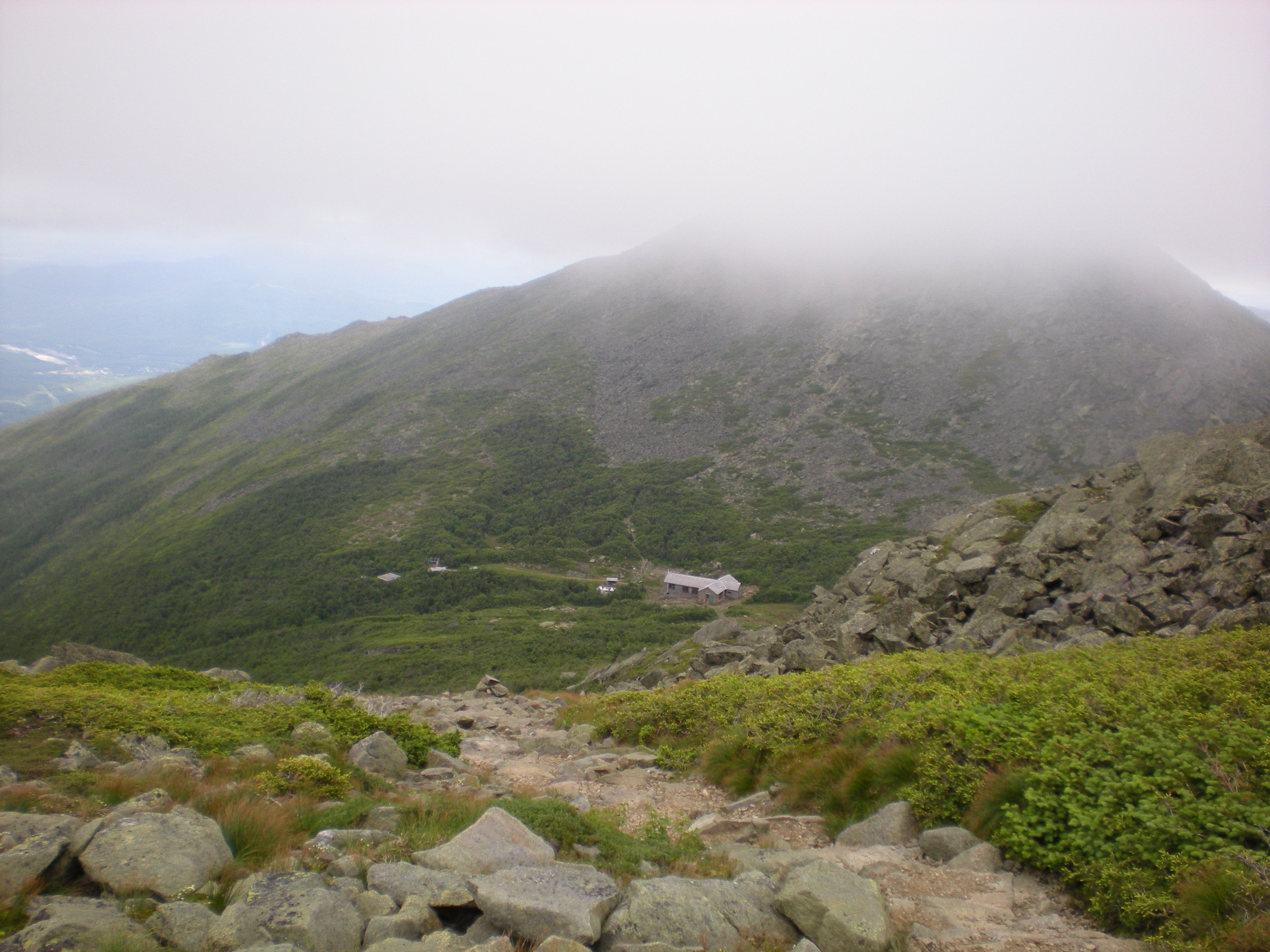

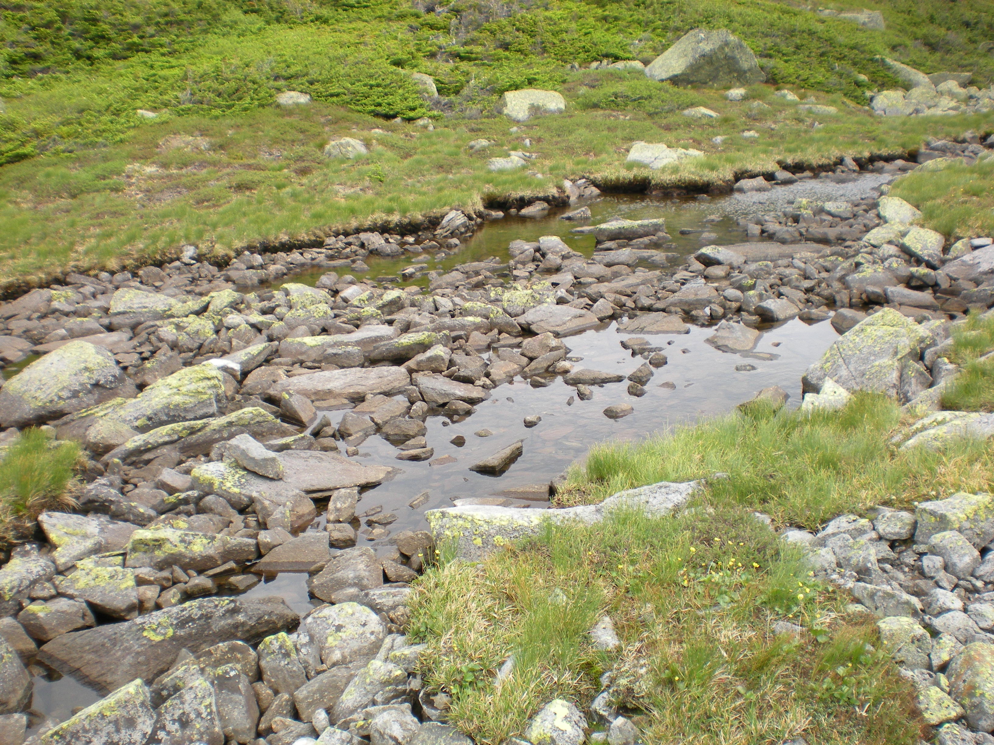
But going down to Madison Hut (left) things really didn't look too promising - Mt. Madison was in and out of clouds, and I knew what that meant. So I decided to continue my Lakes Tour instead - after Storm Lake, a visit to little Star Lake (right) just north of the hut. There's no way the Loch Ness monster could hide in Star Lake without its butt sticking out, but while Storm Lake is a joke Star Lake has a lot of charm and I hung out there for a while - with memories of summer 2004 when I took the kids on a Presidential Traverse, we stayed at Madison Hut and went to visit Star Lake n the evening. What good litle hikers they were...
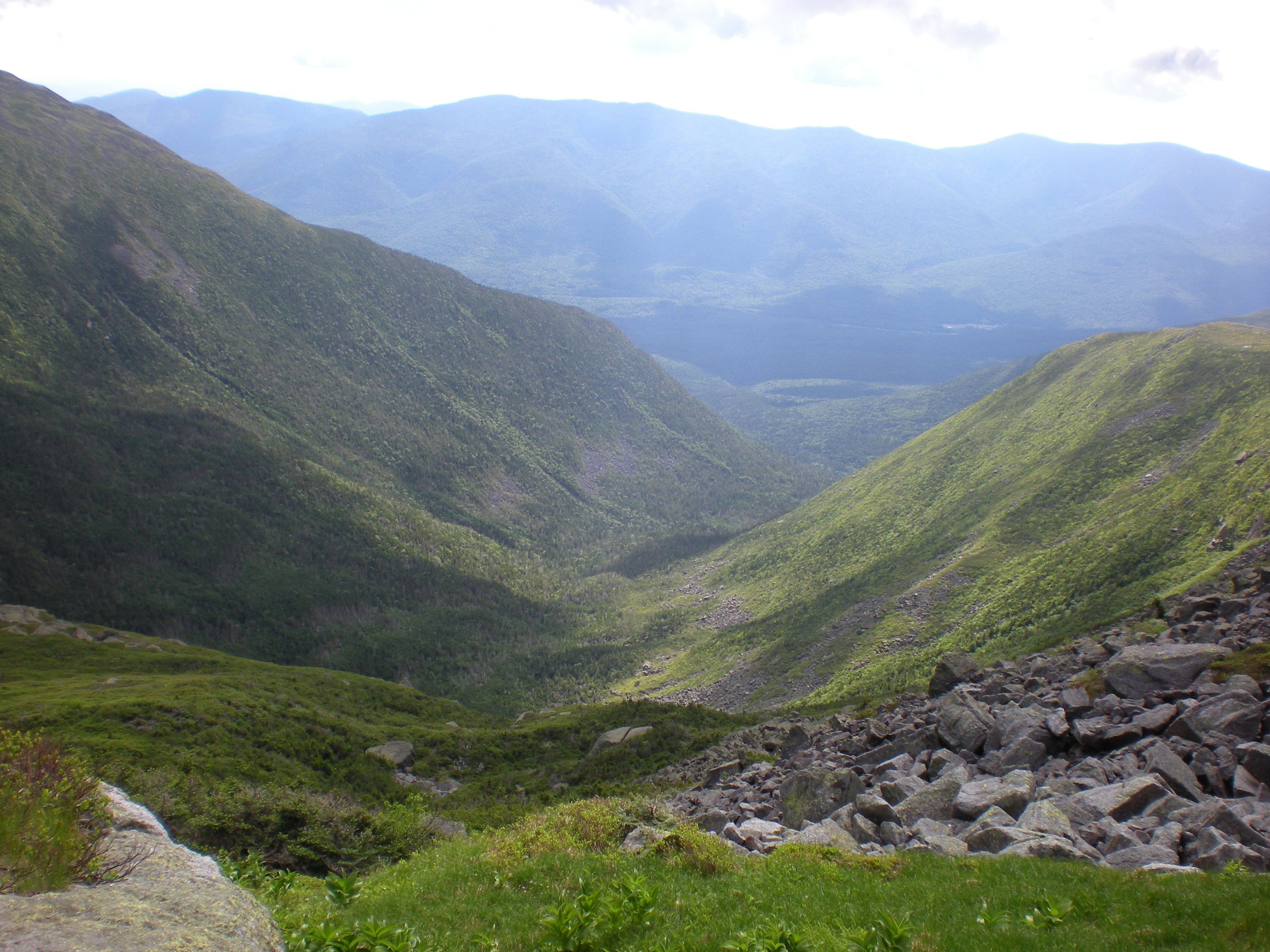
After that I just came back the way I came along the Gulfside trail. Beautiful views of King Ravine to the west (left) where I am told that ice remains all summer long - I need to check this out someday. And my old pal Mt. Jefferson was clear on the return (right) so I figured I would give it a return visit...
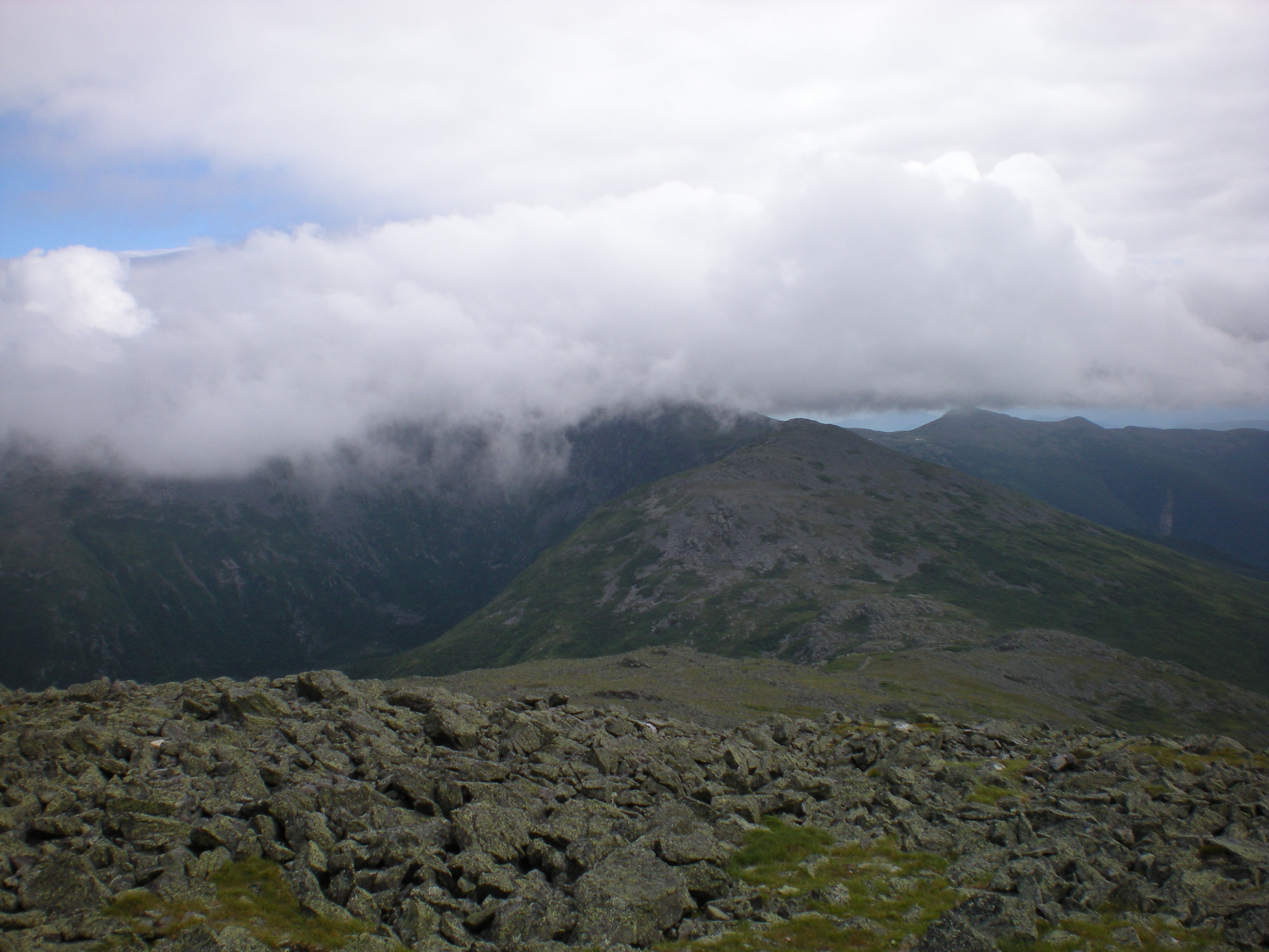
...and, amazingly, it was clear this time with 360o views, but I had enough views for the day. On the top I ran into a girl who desperately had to find the USGS marker to be photographed with it and prove to her friends that she had summited Mt. Jefferson. I knew where it was and after I took her picture with it I asked her to return the favor (left). I then hung out some more among the various lookouts around Mt. Jefferson, Mt. Washington remained socked in clouds (right) but there was a nice view of the Great Gulf. And then back down by Caps Ridge and a the trailhead at 7:30 pm. A 15-h hike, whew!