Click on pictures to enlarge.

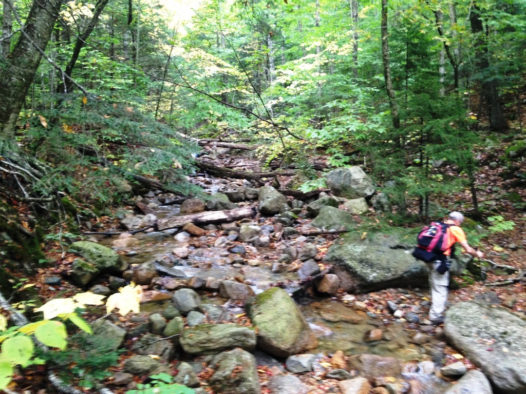
The old Osseo Trail leading from Lincoln to Mt. Flume was re-routed in the 1980s following construction of the Clearbrook condos at the previous trailhead. The Osseo Trail now starts from the Lincoln Woods Trail, 1.4 miles from the Lincoln Woods visitor center, and goes by a completely different route that skips in particular Mt. Osseo (also called Whaleback Mt. - same thing). Here we climbed up the old Osseo Trail up to Mt. Flume and down the new Osseo Trail. A detailed old Osseo Trail guide with maps and descriptions by Mike Clarke is available online and was extremely helpful to us. Plus the trail is marked with yellow blazes so the going is obvious. It seems that the Clearbrook condo association is actually maintaining the trail, which is really wonderful. We should do something like this with our own Mt. Deception. We parked in the visitor parking lot of Clearbrook buildings 97-108 and started on the trail from a line of boulders just below that parking lot. We were at 1,200 feet. The well-defined trail ran along Clearwater Brook (left), crossing it twice (right).


After the second brook crossing the trail began to climb steeply but very easily, in an open forest with excellent dirt footing (left). At 2,600 feet we reached Shelter Rock (right), a prominent feature at the col between Mt. Osseo and South Whaleback. Here Mike Clarke says that there was an old logging camp and that the area is worth exploring but we couldn't see any evidence of the camp, maybe we didn't explore enough.

We wandered a bit along the col, with Osseo to our left and South Whaleback to our right, looking for a good place to bushwhack Little Whaleback (3,017 feet) just to see what was there and to add to our 3,000 footer list. There didn't seem to be any previous herd path but the woods were pretty open so we just headed up. It was a fairly easy bushwhack. At some point we got to the top, with no views or marker that we could find (left). However, we could look back to the northwest and see Osseo through the trees including its prominent cliffs (right).


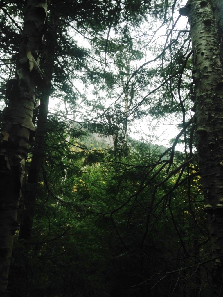
Back on the trail we continued on the gradual climb, following what were old logging roads according to Mike Clarke. These "roads" are nothing more than well-graded footpaths (left). Extensive logging took place in this area at the turn of the 20th century but course they didn't have vehicles other than mules back then, which explains I suppose why the logging roads were just footpaths. It must have been a huge amount of work to bring the big logs down into the valley for loading on the trains. We eventually got to the base of the Mt. Osseo cliff, and went off on a short side path to the left along the base of the cliff that took us to an impassable ledge but with the best views of the day, looking back to South Whaleback and the Kancamangus (right) and to the Loon ski area (below left).


The trail now became very steep and rough as it scrambled up the side of the cliff, but still very well blazed. At one point there was a nice view looking back to South Whaleback and to Potash Knob to its right, with a beautiful fringe of birch trees in foliage at the col between the two (right).

And then we got to the flattish top of Mt. Osseo, where the trail followed the edge of the cliff to find the top at 3.600 feet, with no cairn or marker or record tube that we could find, There was a limited view back to South Whaleback and Potash Knob (left). I took a picture of the open area at the peak such as it is (right). Peter remarked that Mt. Osseo may not even count as a 3,000 footer because it's really just a shoulder of Mt. Flume and does not have the requisite 200 feet col.
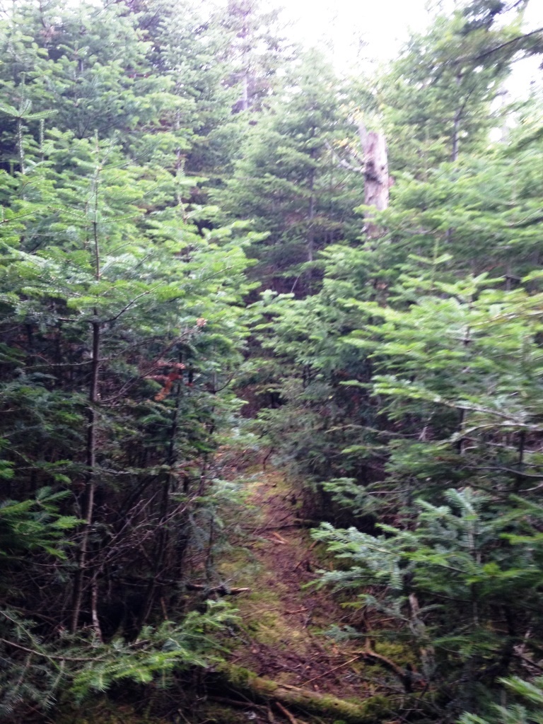

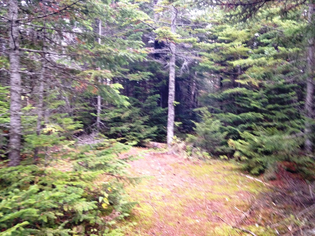
From there the trail headed down a bit (Mt. Osseo is a peak after all) and then continued across a long and broad flattish plateau on its way to Mt. Flume, going slowly upward to its eventual junction with the new Osseo Trail. That part of the trail is 2.2 miles long according to Mike Clarke and that seems about right. It seems much less used than the first part but is still well-defined and blazed though overgrown by small spruce in places (left). There were only a few blowdowns. We did our part by clipping and uprooting the small spruce and clearing the easy blowdowns. It was very pleasant walking through thick and mossy forest (right). Mike Clarke recommends having a GPS in this part to avoid getting lost but we found this to be no problem because the woods are so thick that it's darn impossible to leave the trail, and if you did get lost the woods are so impenetrable that a GPS would seem to do no good. We occasionally had glimpses of Mt. Flume ahead.


At 3,850 feet we ran into the new Osseo Trail (left - the old trail is the narrow track on the right, from the main trail you have to know it's there. There's an old yellow blaze on the back of a tree as soon as you step into the old Osseo Trail). We continued on to Mt. Flume at 4,350 feet but the fog was starting to catch up with us and we got to the top in thick fog and whipping winds (right).There are otherwise great views from Mt. Flume that we had enjoyed earlier this year.


From there we went back down the new Osseo Trail, which was much more interesting than I thought it would be. Immediate descent from Mt. Flume is steep and rough, but then it flattens on the broad plateau I previously mentioned and the junction with the old Osseo Trail is in the middle of that flat area. Really nice walking. Suddenly the trail narrows into a knife edge, and at about 3.500 feet there is an absolutely impressive succession of wood staircases (left), the extent of which I have never seen in the White Mountains - they beat out Mt. Willey's, which are however steeper. There were some view points along the staircases but they were all draped in fog. Below the wood staircases the trail was very pleasant, going down gradually in a beautiful forest (right) all the way down to 1,500 feet. The top of the foliage was in color but the interior of the forest was still bright green. We exited the woods at the Lincoln Woods visitor center and from there walked back to the car along the Kancamangus Highway and up Clearbrook Rd. (road walk was 45 minutes total).